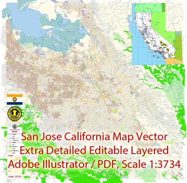
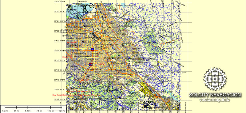
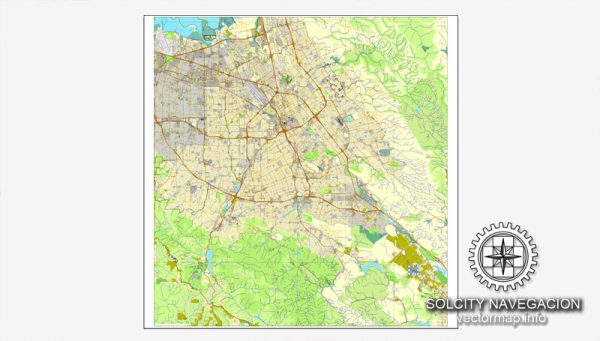
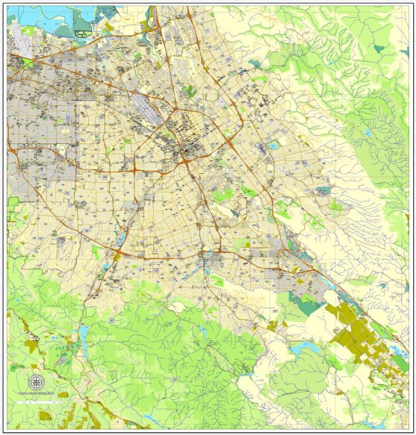
San Jose, California, doesn’t have major waterways flowing through it, but it is part of the larger Santa Clara Valley, which is served by several creeks. The Guadalupe River runs through parts of San Jose, and Coyote Creek is another significant watercourse in the region.
Vectormap.Net provide you with the most accurate and up-to-date vector maps in Adobe Illustrator, PDF and other formats, designed for editing and printing. Please read the vector map descriptions carefully.
Bridges:
- San Jose State University Pedestrian Bridge: This bridge connects the main campus of San Jose State University over the Guadalupe River.
- Hedding Street Bridge: This is a vehicular and pedestrian bridge that spans the Guadalupe River.
- Park Avenue Bridge: Located over the Guadalupe River, it provides another route for vehicles and pedestrians.
Main Streets:
- Santa Clara Street: One of the primary east-west thoroughfares in downtown San Jose, known for its shops, restaurants, and cultural attractions.
- First Street: Running parallel to Santa Clara Street, First Street is another major route through downtown.
- The Alameda: A historic street lined with trees and charming homes, connecting downtown San Jose with Santa Clara.
- West San Carlos Street: Connecting the western and central parts of the city, it’s known for commercial areas and diverse dining options.
- Capitol Expressway: A major arterial road that runs through the eastern part of the city.
- Cottle Road: Extending through the southern part of San Jose, it connects various neighborhoods and commercial areas.
Keep in mind that developments may have occurred since my last update, so it’s advisable to check more recent sources for the latest information on San Jose’s infrastructure and urban layout.


 Author: Kirill Shrayber, Ph.D. FRGS