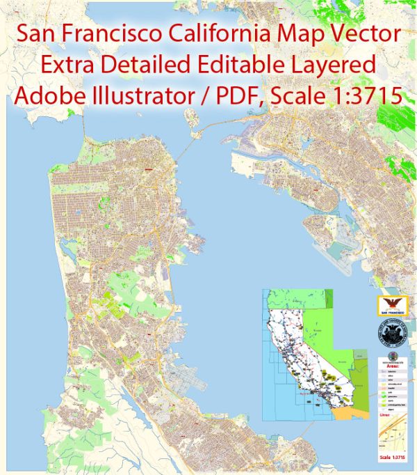
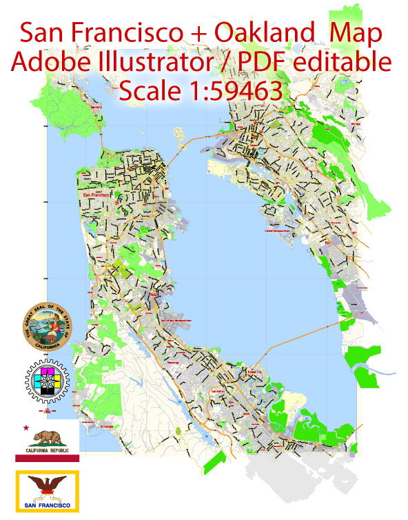
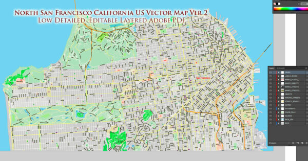
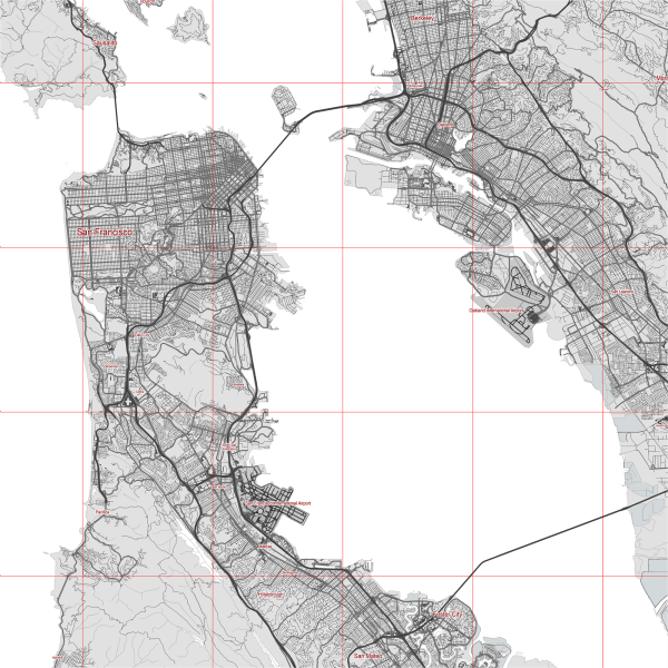
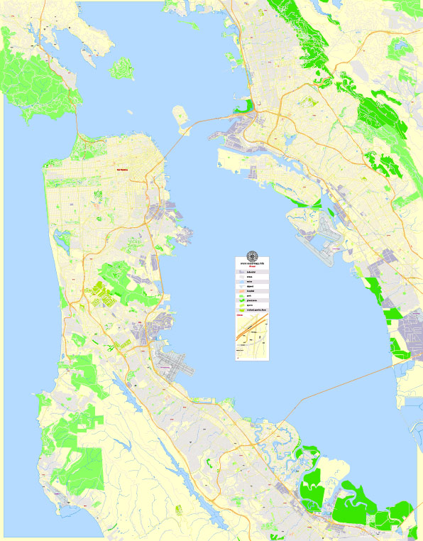
San Francisco and Oakland, both located in the San Francisco Bay Area of California, have well-developed transportation networks, including principal roads and railroads. Vectormap.Net provide you with the most accurate and up-to-date vector maps in Adobe Illustrator, PDF and other formats, designed for editing and printing. Please read the vector map descriptions carefully.
San Francisco:
Principal Roads:
- U.S. Route 101 (US 101): This major north-south highway runs through San Francisco, connecting the city with the rest of the Bay Area and beyond.
- Interstate 280 (I-280): I-280 is another important freeway that provides a connection between San Francisco and neighboring areas.
- Interstate 80 (I-80): While I-80 primarily connects the Bay Area with Sacramento and the East Coast, it plays a crucial role in the regional transportation network.
- California State Route 1 (CA-1): This scenic highway, also known as the Pacific Coast Highway, runs along the coast and offers breathtaking views.
- California State Route 35 (CA-35): Also known as Skyline Boulevard, CA-35 provides a scenic route along the ridgeline of the Santa Cruz Mountains.
Railroads:
- Bay Area Rapid Transit (BART): BART is a rapid transit system connecting San Francisco with various cities in the East Bay, including Oakland. It also extends to the San Francisco International Airport.
- Caltrain: While Caltrain primarily serves the Peninsula and South Bay, it has a terminus at the San Francisco Caltrain Station, providing a rail link between San Francisco and the South Bay.
- Amtrak: Amtrak provides long-distance and regional rail services. The Emeryville station, located near Oakland, serves as a major Amtrak hub.
Oakland:
Principal Roads:
- Interstate 580 (I-580): I-580 is a major east-west freeway connecting Oakland with cities in the East Bay and beyond.
- Interstate 880 (I-880): I-880 runs north-south through Oakland, providing a vital transportation corridor in the East Bay.
- California State Route 24 (CA-24): CA-24 connects Oakland with neighboring cities like Walnut Creek and Orinda.
- Eastshore Freeway (I-80): The portion of I-80 that passes through Oakland is known as the Eastshore Freeway.
Railroads:
- Amtrak: Oakland is served by the Oakland Coliseum Amtrak Station, providing Amtrak services for passengers.
- BART: The Bay Area Rapid Transit system serves Oakland with multiple stations, connecting the city with San Francisco, the East Bay, and beyond.
These roadways and railroads contribute to the extensive transportation infrastructure in the San Francisco Bay Area, facilitating the movement of people and goods across the region.

 Author: Kirill Shrayber, Ph.D. FRGS