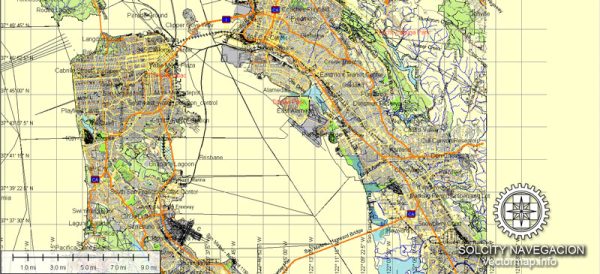
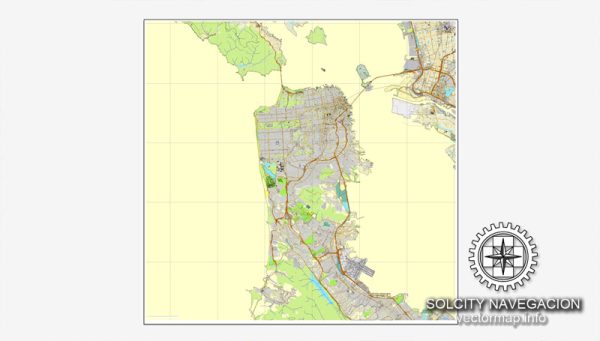
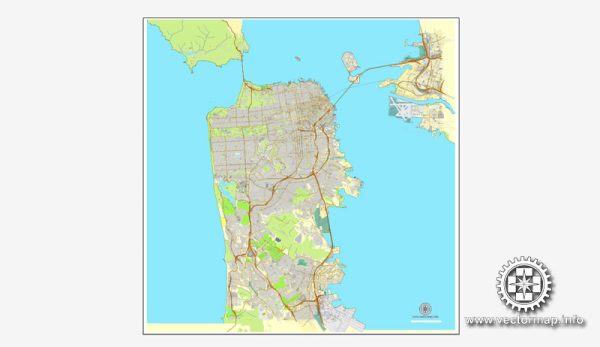
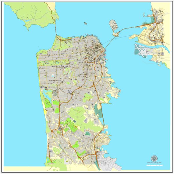
San Francisco, California, is known for its iconic geography, which includes a mix of hills, bay areas, and distinctive landmarks. Here’s a description of some of its principal waterways, bridges, and main streets:
Waterways:
- San Francisco Bay: The city is located on the tip of a peninsula, surrounded by the famous San Francisco Bay to the east. The bay is a significant natural harbor and a defining feature of the region.
- Golden Gate Strait: Connecting the San Francisco Bay to the Pacific Ocean, the Golden Gate Strait is spanned by the Golden Gate Bridge. It is a narrow passage that is both a crucial maritime route and a scenic part of the city’s landscape.
Bridges:
- Golden Gate Bridge: One of the most iconic symbols of San Francisco, the Golden Gate Bridge spans the Golden Gate Strait. With its distinctive orange color and art deco design, it’s not just a transportation landmark but also a major tourist attraction.
- Bay Bridge (San Francisco-Oakland Bay Bridge): This bridge complex connects San Francisco to Oakland and the East Bay. It consists of two spans, the western span, and the eastern span, with the latter featuring a newer design and construction.
Main Streets:
- Market Street: One of the city’s major thoroughfares, Market Street runs diagonally across San Francisco. It is a bustling street with shops, theaters, and the historic F-Market & Wharves heritage streetcar line.
- Lombard Street: Known as the “Crookedest Street in the World,” Lombard Street is famous for its steep, winding section that features eight hairpin turns. It’s a popular tourist destination.
- Van Ness Avenue: A major north-south thoroughfare, Van Ness Avenue is lined with shops, restaurants, and theaters. It is also known for its classical revival architecture.
- Mission Street: Running through the Mission District, this street is known for its cultural diversity, murals, and a vibrant mix of shops and restaurants.
- Embarcadero: This is a scenic waterfront street along the eastern edge of the city, offering beautiful views of the bay. It’s a popular area for walking, jogging, and enjoying the various piers and attractions.
San Francisco’s waterways, bridges, and streets contribute to its unique character and charm, attracting millions of visitors each year.
Vectormap.Net provide you with the most accurate and up-to-date vector maps in Adobe Illustrator, PDF and other formats, designed for editing and printing. Please read the vector map descriptions carefully.


 Author: Kirill Shrayber, Ph.D.