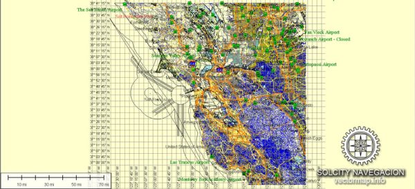
The San Francisco Bay Area, located in Northern California, is a vibrant and populous region known for its diverse communities, cultural attractions, and economic significance. Here’s a brief description of some of the principal cities, waterways, and main roads in the area:
Principal Cities:
- San Francisco:
- Iconic for the Golden Gate Bridge, cable cars, and Alcatraz Island.
- Financial and cultural hub with a rich history and diverse neighborhoods.
- Oakland:
- Major port city with a diverse population.
- Home to the Oakland Athletics and Oakland Raiders.
- San Jose:
- Center of Silicon Valley, known for its tech industry and innovation.
- Largest city in the Bay Area.
- Berkeley:
- Home to the University of California, Berkeley.
- Known for its progressive culture and vibrant arts scene.
- Palo Alto:
- Heart of Silicon Valley, home to Stanford University.
- Hub for tech companies and venture capital.
- Mountain View:
- Headquarters of major tech companies, including Google.
- Access point to the scenic Santa Cruz Mountains.
Waterways:
- San Francisco Bay:
- A large, shallow estuary that is a key feature of the region.
- Connects to the Pacific Ocean through the Golden Gate Strait.
- Golden Gate Strait:
- The entrance to the San Francisco Bay from the Pacific Ocean.
- Spanned by the iconic Golden Gate Bridge.
- Bay Delta:
- Delta region formed by the confluence of the Sacramento and San Joaquin Rivers.
- Critical for water supply and ecosystem health.
Main Roads:
- Interstate 80 (I-80):
- Connects San Francisco and Oakland with the East Bay and Sacramento.
- Interstate 280 (I-280):
- A scenic route connecting San Francisco and San Jose.
- Highway 101:
- Runs along the western side of the Bay, connecting San Francisco with Silicon Valley and the Peninsula.
- Highway 880:
- Connects Oakland and San Jose, passing through the East Bay.
- Highway 92:
- Connects the Peninsula to the East Bay, crossing the San Mateo Bridge.
- Highway 17:
- Connects San Jose and Santa Cruz through the Santa Cruz Mountains.
- Highway 680:
- Connects the East Bay with the South Bay.
The San Francisco Bay Area is known for its distinctive geography, with hills, coastal areas, and a mix of urban and suburban landscapes. It’s a dynamic region that plays a significant role in technology, culture, and the overall economic landscape of California and the United States.
Vectormap.Net provide you with the most accurate and up-to-date vector maps in Adobe Illustrator, PDF and other formats, designed for editing and printing. Please read the vector map descriptions carefully.


 Author: Kirill Shrayber, Ph.D.