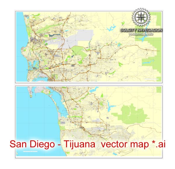
San Diego, California, and Tijuana, Mexico, are neighboring cities located along the United States-Mexico border. Some of the principal waterways, bridges, and main streets in each city. Vectormap.Net provide you with the most accurate and up-to-date vector maps in Adobe Illustrator, PDF and other formats, designed for editing and printing. Please read the vector map descriptions carefully.
San Diego, California, US:
Principal Waterways:
- San Diego Bay: A natural harbor that provides a significant waterway for maritime activities.
- San Diego River: Flows through the city and has an estuary that is important for local ecosystems.
Bridges:
- San Diego-Coronado Bridge: Connects downtown San Diego with Coronado Island, offering stunning views of the bay.
- Clairemont Drive Bridge: Spans the San Diego River in the Clairemont neighborhood.
Main Streets:
- Broadway: A major east-west thoroughfare in downtown San Diego, hosting various shops and businesses.
- Market Street: Another important east-west street, running through downtown and diverse neighborhoods.
Tijuana, Baja California, Mexico:
Principal Waterways:
- Tijuana River: Flows through the city and crosses the border into the United States. It has an estuary that is shared with San Diego.
Bridges:
- Puente México: Connects Tijuana with the San Ysidro Port of Entry in San Diego, being one of the busiest border crossings in the world.
- Puente El Chaparral: Another border crossing, connecting Tijuana with the Otay Mesa area in San Diego.
Main Streets:
- Avenida Revolución: Known for its vibrant atmosphere, shops, restaurants, and cultural attractions.
- Boulevard Sánchez Taboada: A major thoroughfare running through Tijuana, connecting various neighborhoods.
Both cities are part of a dynamic and interconnected border region, and the infrastructure at the border, including bridges and crossings, plays a crucial role in facilitating cross-border activities. Keep in mind that developments and changes may have occurred since my last update, so it’s a good idea to check local sources for the most current information.


 Author: Kirill Shrayber, Ph.D. FRGS