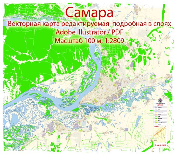
Samara, located in the southeastern part of European Russia, is situated on the eastern bank of the Volga River. Vectormap.Net provide you with the most accurate and up-to-date vector maps in Adobe Illustrator, PDF and other formats, designed for editing and printing. Please read the vector map descriptions carefully. Here is an overview of the principal waterways, bridges, and main streets in Samara:
- Volga River:
- The Volga River is the most significant waterway in Samara and plays a crucial role in the city’s geography and transportation. It is one of the longest rivers in Europe and serves as a major route for shipping and transportation.
- Bridges:
- The city of Samara has several bridges that span the Volga River, connecting different parts of the city. These bridges are essential for transportation and contribute to the overall infrastructure of the region. Some of the notable bridges include the Zhigulevsky Bridge and the Metallurgov Bridge.
- Zhigulevsky Bridge:
- The Zhigulevsky Bridge is a key transportation link in Samara, spanning the Volga River. It is an important landmark and provides a vital connection between the city’s two banks.
- Metallurgov Bridge:
- The Metallurgov Bridge is another significant bridge in Samara, contributing to the city’s transportation network. It is essential for both vehicular and pedestrian traffic.
- Main Streets:
- Samara features a network of streets and avenues that facilitate the movement of traffic and provide access to various parts of the city. Some of the main streets in Samara include:
- Lenin Avenue (Prospect Lenina): One of the central and historically significant streets in Samara, lined with shops, restaurants, and cultural institutions.
- Kuybyshev Street (Ulitsa Kuybysheva): Another important street in the city, hosting commercial and residential areas, as well as public spaces.
- Novo-Sadovaya Street (Ulitsa Novo-Sadovaya): Known for its vibrant atmosphere, this street is home to various businesses, cafes, and entertainment venues.
- Samara features a network of streets and avenues that facilitate the movement of traffic and provide access to various parts of the city. Some of the main streets in Samara include:


 Author: Kirill Shrayber, Ph.D. FRGS