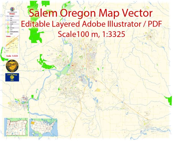
A general description of Salem, Oregon’s principal waterways, bridges, and main streets. Vectormap.Net provide you with the most accurate and up-to-date vector maps in Adobe Illustrator, PDF and other formats, designed for editing and printing. Please read the vector map descriptions carefully.
Waterways:
- Willamette River: The Willamette River flows through the western part of Salem, offering scenic views and recreational opportunities. It’s a major tributary of the Columbia River.
Bridges:
- Marion Street Bridge: This bridge spans the Willamette River, connecting downtown Salem with West Salem. It’s a vital transportation link for the city.
- Center Street Bridge: Another important bridge crossing the Willamette River, connecting the downtown area with the northeastern part of the city.
- Union Street Railroad Bridge: Originally built as a railroad bridge, it has been adapted for pedestrian and bicycle use. It spans the Willamette River between Wallace Marine Park and Minto-Brown Island Park.
Main Streets:
- Commercial Street: Running through downtown Salem, Commercial Street is a hub of activity with shops, restaurants, and businesses. It’s a focal point for both locals and visitors.
- State Street: Another significant street in downtown Salem, State Street is known for its historic architecture, government buildings, and cultural institutions.
- Lancaster Drive: This major north-south thoroughfare in Salem is lined with commercial establishments and residential areas, providing a key transportation route.
- Cordon Road: Running through the eastern part of Salem, Cordon Road is a notable street connecting residential neighborhoods and providing access to commercial areas.
Please note that the specific details may have changed, and it’s always a good idea to check with local sources or maps for the most up-to-date information.


 Author: Kirill Shrayber, Ph.D. FRGS