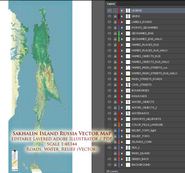
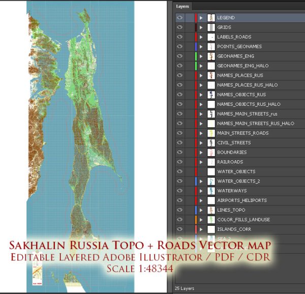
Sakhalin Island is a large island located in the Russian Far East, situated to the north of Japan. Vectormap.Net provide you with the most accurate and up-to-date vector maps in Adobe Illustrator, PDF and other formats, designed for editing and printing. Please read the vector map descriptions carefully. Some principal cities, waterways, and main roads on Sakhalin Island include:
- Yuzhno-Sakhalinsk (Южно-Сахалинск): Yuzhno-Sakhalinsk is the administrative center and the largest city on Sakhalin Island. It is located in the southern part of the island and serves as a major economic and cultural hub.
- Kholmsk (Холмск): Kholmsk is a port city situated on the western coast of Sakhalin Island. It serves as a significant transportation hub for maritime activities.
- Poronaysk (Поронайск): Poronaysk is a town on the northeastern coast of Sakhalin Island. It is known for its scenic surroundings and is an important administrative center in the region.
- Nevelsk (Невельск): Nevelsk is a port town located on the western coast of Sakhalin Island, near the Strait of Tartary.
Waterways:
- Strait of Tartary: This strait lies between Sakhalin Island and the Asian continent, separating Russia from Japan. It is an important waterway for maritime traffic.
- Tatar Strait: This strait lies to the south of Sakhalin Island and connects the Sea of Japan with the Sea of Okhotsk.
- Sea of Okhotsk: Sakhalin is bordered by the Sea of Okhotsk to the west, providing access to maritime routes.
Main Roads:
The road infrastructure on Sakhalin Island includes a network of highways and local roads connecting various cities and regions. The specific road details may change, so it’s recommended to refer to current maps or navigation systems for up-to-date information on main roads.
Please keep in mind that developments in infrastructure and urban areas may have occurred since my last update, and it’s essential to consult recent sources for the latest information on Sakhalin Island’s principal cities, waterways, and main roads.


 Author: Kirill Shrayber, Ph.D. FRGS