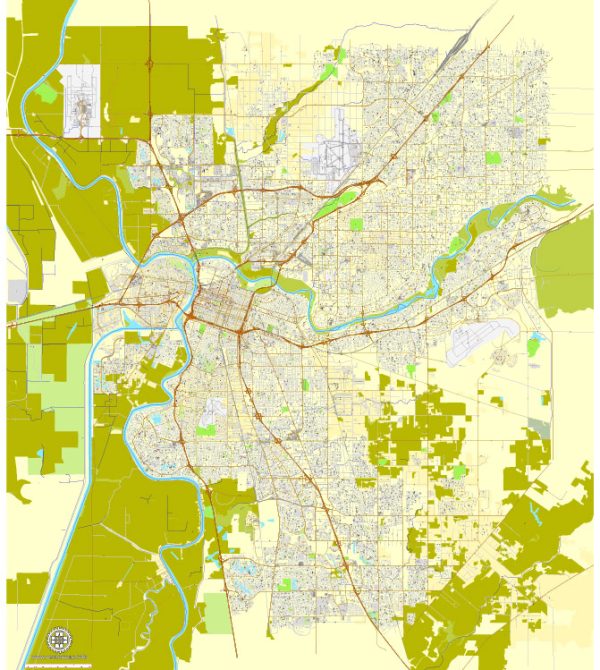
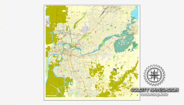
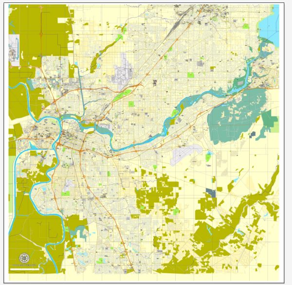
A general overview of the principal waterways, bridges, and main streets in Sacramento, California. Vectormap.Net provide you with the most accurate and up-to-date vector maps in Adobe Illustrator, PDF and other formats, designed for editing and printing. Please read the vector map descriptions carefully.
Principal Waterways:
- Sacramento River: The Sacramento River flows through the city, playing a significant role in its geography and history.
- American River: Another important waterway, the American River, converges with the Sacramento River in the northern part of the city.
Bridges:
- Tower Bridge: A iconic vertical-lift bridge spanning the Sacramento River, connecting West Sacramento to Sacramento.
- I Street Bridge: Also known as the “Old Sacramento Bridge,” it connects downtown Sacramento to West Sacramento.
- B Street Bridge: This bridge connects the Sacramento downtown area to the Sacramento Railyards.
Main Streets:
- J Street: Located in downtown Sacramento, J Street is a major east-west thoroughfare with shops, restaurants, and entertainment venues.
- K Street: Another key downtown street with commercial and retail establishments.
- L Street: Running parallel to J and K streets, L Street is also a significant route through the downtown area.
- Capitol Mall: This is a street running along the west side of the California State Capitol grounds, offering views of the Capitol building.
These are just a few examples, and there are many other streets and neighborhoods in Sacramento contributing to the city’s vibrant urban landscape.
For the most up-to-date and detailed information, I recommend checking local sources, maps, or official city websites, as urban landscapes can evolve, and new developments may have occurred since my last update.


 Author: Kirill Shrayber, Ph.D. FRGS