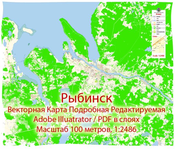
Rybinsk is a city in the Yaroslavl Oblast of Russia, located on the Volga River. Some general information about the city’s principal waterways, bridges, and main streets. Vectormap.Net provide you with the most accurate and up-to-date vector maps in Adobe Illustrator, PDF and other formats, designed for editing and printing. Please read the vector map descriptions carefully.
Principal Waterways:
- Volga River: Rybinsk is situated on the banks of the Volga River, one of the longest rivers in Europe and a vital waterway in Russia. The city has historically played a significant role as a port and a transportation hub along the Volga.
Bridges:
- Rybinsk Bridge: The main bridge in Rybinsk is likely the one that crosses the Volga River. This bridge serves as a crucial connection between different parts of the city and facilitates transportation over the river.
As of my last knowledge update, specific details about other bridges in Rybinsk may not be readily available, and new infrastructure developments may have occurred since then.
Main Streets:
- Sovetskaya Street: This is often a common name for the central street in Russian cities. Sovetskaya Street in Rybinsk is likely a central thoroughfare, possibly home to shops, businesses, and various services.
- Lenina Street: Named after Vladimir Lenin, it’s common to find a street named Lenina in Russian cities. This street may also be a significant route with shops, offices, and other establishments.
- Gagarina Street: Named after Yuri Gagarin, the first human in space, streets bearing his name are common in Russian cities. Gagarina Street might be another important avenue in Rybinsk.
To get the most accurate and up-to-date information about specific waterways, bridges, and streets in Rybinsk, I recommend checking with local authorities, maps, or online resources. City websites, tourism portals, or maps can provide detailed information about the city’s infrastructure and layout.


 Author: Kirill Shrayber, Ph.D. FRGS