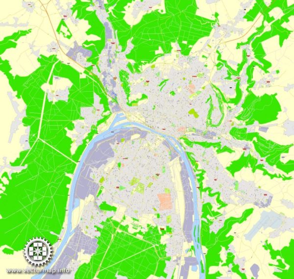
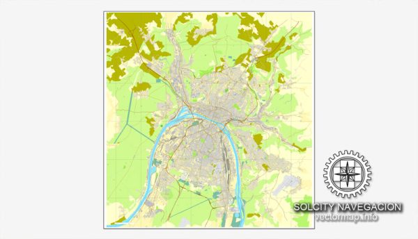
Rouen, a historic city in northern France, is situated on the River Seine and is known for its rich cultural heritage, stunning architecture, and picturesque waterfront. Here’s a description of some principal waterways, bridges, and main streets in Rouen:
Waterways:
- River Seine: The River Seine flows through the heart of Rouen, dividing the city into two parts. The river has played a crucial role in the city’s history and development.
Bridges:
- Pont Gustave-Flaubert: This vertical-lift bridge is a prominent structure in Rouen and a key crossing point over the Seine. It allows large vessels to pass underneath, showcasing a harmonious blend of functionality and architectural design.
- Pont Boieldieu: A historic bridge that connects the two sides of Rouen, offering picturesque views of the Seine and the cityscape. It’s a popular spot for both locals and tourists.
Main Streets:
- Rue du Gros-Horloge: One of the most famous streets in Rouen, Rue du Gros-Horloge is known for its stunning medieval clock, Gros-Horloge. Lined with charming shops and cafes, it’s a pedestrian-friendly street that exudes a vibrant atmosphere.
- Rue Saint-Romain: This street is named after Saint Romain, the patron saint of Rouen. It is home to the Rouen Cathedral (Cathédrale Notre-Dame de Rouen), a masterpiece of Gothic architecture that dominates the city’s skyline.
- Quai de la Seine: Along the banks of the Seine, Quai de la Seine is a picturesque promenade with scenic views of the river and historic buildings. It’s a great place for a leisurely stroll and to enjoy the city’s waterfront ambiance.
- Rue Saint-Nicolas: A charming street in the Old Town, Rue Saint-Nicolas is known for its half-timbered houses, narrow alleys, and traditional French atmosphere. It captures the medieval essence of Rouen.
- Place du Vieux-Marché: This square is famous for its historical significance as the place where Joan of Arc was executed. The square is surrounded by cafes and restaurants, making it a lively spot for both locals and visitors.
Rouen’s layout and architecture showcase a blend of medieval and modern influences, making it a captivating destination for those interested in history, art, and the beauty of French urban life.
Vectormap.Net provide you with the most accurate and up-to-date vector maps in Adobe Illustrator, PDF and other formats, designed for editing and printing. Please read the vector map descriptions carefully.


 Author: Kirill Shrayber, Ph.D. FRGS