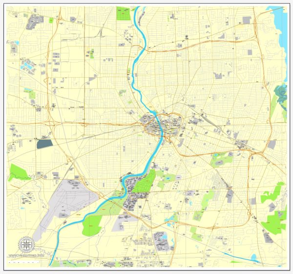
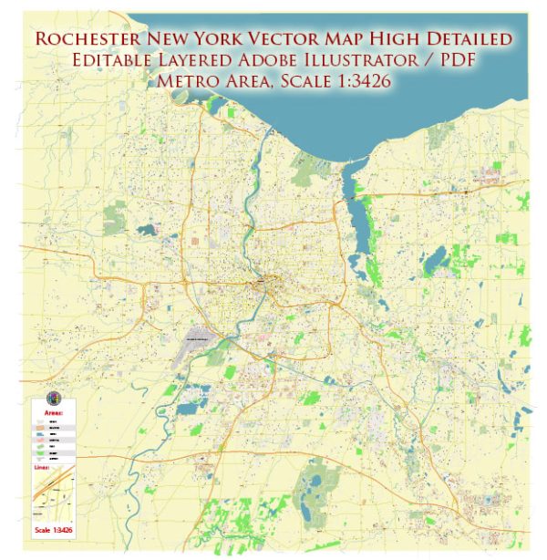
A general overview of the principal waterways, bridges, and main streets in Rochester, New York. Vectormap.Net provide you with the most accurate and up-to-date vector maps in Adobe Illustrator, PDF and other formats, designed for editing and printing. Please read the vector map descriptions carefully.
Principal Waterways:
- Genesee River: The Genesee River flows through the heart of Rochester, dividing the city into east and west sections. It has several scenic spots along its banks and is a significant natural feature of the area.
Bridges:
- Frederick Douglass–Susan B. Anthony Memorial Bridge: This bridge spans the Genesee River and connects the west and east sides of the city. It offers picturesque views of the river and surrounding areas.
- Ford Street Bridge: Another notable bridge crossing the Genesee River, connecting the neighborhoods on the east and west banks.
- Broad Street Aqueduct: Originally designed as an aqueduct, it now serves as a pedestrian bridge over the Genesee River and connects the east and west sides of the city near High Falls.
Main Streets:
- Main Street: As one might expect, Main Street is a central thoroughfare in Rochester, running through the downtown area and hosting various businesses, shops, and restaurants.
- East Avenue: This is a prominent street that runs through several neighborhoods, offering a mix of residential and commercial spaces. It’s known for its historic architecture and tree-lined streets.
- Monroe Avenue: Located in the southeast part of the city, Monroe Avenue is a vibrant street with a diverse range of shops, cafes, and restaurants.
- University Avenue: Running through the neighborhood near the University of Rochester, this street is lined with academic buildings, student housing, and cultural attractions.
Keep in mind that developments may have occurred since my last update, so I recommend checking with local sources or city websites for the most current information on waterways, bridges, and main streets in Rochester, New York.


 Author: Kirill Shrayber, Ph.D. FRGS