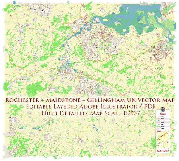
A general description of the principal waterways, bridges, and main streets in Rochester, Maidstone, and Gillingham in the United Kingdom. Vectormap.Net provide you with the most accurate and up-to-date vector maps in Adobe Illustrator, PDF and other formats, designed for editing and printing. Please read the vector map descriptions carefully.
Rochester:
Waterways:
- River Medway: Rochester is situated on the banks of the River Medway, and the river plays a significant role in the town’s history and geography.
Bridges:
- Rochester Bridge: The Rochester Bridge spans the River Medway and connects Rochester with Strood. There are two bridges, the Old Bridge and the New Bridge, both of historical significance.
Main Streets:
- High Street: Rochester’s High Street is a historic thoroughfare with a mix of shops, restaurants, and historic buildings.
- Esplanade: Along the riverfront, offering picturesque views of the River Medway and the bridges.
Maidstone:
Waterways:
- River Medway: Maidstone is also located on the River Medway, and the river contributes to the town’s charm.
Bridges:
- Fremlin Walk Footbridge: A pedestrian bridge over the River Medway in Maidstone.
- A229 Bridge: Connects Maidstone with Barming.
Main Streets:
- High Street: Maidstone’s High Street is a bustling area with shops, restaurants, and the Maidstone Museum.
- Week Street: Another key shopping street in the town center.
Gillingham:
Waterways:
- River Medway: Gillingham, like Rochester and Maidstone, is situated along the River Medway.
Bridges:
- M2 Motorway Bridge: Crosses the River Medway and connects Gillingham with Strood.
- Railway Viaduct: Carries the railway across the River Medway.
Main Streets:
- High Street: Gillingham’s High Street is a central hub with shops, markets, and local amenities.
- Gillingham Business Park: An area with commercial establishments and businesses.
Please note that developments in infrastructure and urban planning may have occurred since my last update, and I recommend checking with local sources for the latest information on waterways, bridges, and main streets in these areas.


 Author: Kirill Shrayber, Ph.D. FRGS