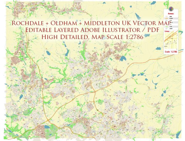
Principal waterways, bridges, and main streets in the Rochdale, Oldham, and Middleton areas in the UK. Vectormap.Net provide you with the most accurate and up-to-date vector maps in Adobe Illustrator, PDF and other formats, designed for editing and printing. Please read the vector map descriptions carefully.
- Waterways:
- Rochdale Canal: The Rochdale Canal is a significant waterway in the region, connecting Rochdale, Oldham, and Middleton. It’s historically important and provides a picturesque route through the towns.
- Bridges:
- Various Canal Bridges: As the Rochdale Canal traverses through the area, there would be numerous bridges spanning it. These bridges facilitate road and pedestrian traffic over the canal.
- Main Streets:
- Rochdale: Rochdale’s town center likely has prominent streets where you find shops, businesses, and cultural amenities. Yorkshire Street is an example of a historically significant street in Rochdale.
- Oldham: In Oldham, the town center would have main streets such as High Street and Yorkshire Street, where you can find shopping centers, restaurants, and other attractions.
- Middleton: The town center in Middleton would also have its main streets, possibly including Long Street and Manchester New Road, where you find a mix of businesses and services.
For the most accurate and up-to-date information, it’s recommended to check with local authorities, maps, or online resources specific to the Rochdale, Oldham, and Middleton areas.


 Author: Kirill Shrayber, Ph.D. FRGS