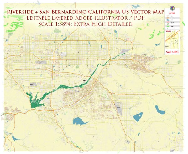
Some general information about Riverside and San Bernardino, California, including their principal waterways, bridges, and main streets. Vectormap.Net provide you with the most accurate and up-to-date vector maps in Adobe Illustrator, PDF and other formats, designed for editing and printing. Please read the vector map descriptions carefully.
Riverside, California:
Principal Waterways:
- Santa Ana River: One of the major waterways in the region, flowing through Riverside and surrounding areas.
- Arlington Channel: A local channel that runs through the Arlington area.
Bridges:
- Market Street Bridge: Located in downtown Riverside, it spans the Santa Ana River.
- University Avenue Bridge: Another significant bridge in Riverside crossing the Santa Ana River.
Main Streets:
- University Avenue: One of the main east-west thoroughfares in Riverside, connecting the downtown area with the University of California, Riverside campus.
- Magnolia Avenue: Another major north-south street, running through various neighborhoods in Riverside.
- Mission Inn Avenue: Located in downtown Riverside, it is home to the historic Mission Inn Hotel & Spa and is a central part of the city’s cultural district.
San Bernardino, California:
Principal Waterways:
- Santa Ana River: Like in Riverside, the Santa Ana River is a significant waterway in the San Bernardino area.
Bridges:
- Fourth Street Bridge: A notable bridge in downtown San Bernardino.
- Mount Vernon Avenue Bridge: Another bridge spanning the Santa Ana River in the San Bernardino region.
Main Streets:
- E Street: Running north-south through downtown San Bernardino, E Street is a key corridor for businesses and services.
- Baseline Street: An important east-west street in San Bernardino.
- Highland Avenue: Connecting various neighborhoods, Highland Avenue is a major thoroughfare in the city.
For the most current and detailed information, especially regarding any changes or new developments, it is recommended to check with local sources or the city’s official website. Urban landscapes can evolve, and new infrastructure projects may have been initiated since my last update.


 Author: Kirill Shrayber, Ph.D.