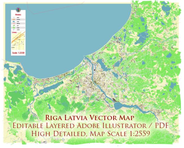
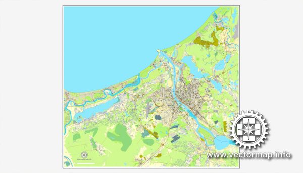
Riga, the capital city of Latvia, is situated on the banks of the Daugava River and has a rich history and a well-planned urban layout. Here’s a brief description of some of Riga’s principal waterways, bridges, and main streets:
Waterways:
- Daugava River: The Daugava River is the main waterway flowing through Riga. It divides the city into two parts—Riga’s Old Town on the eastern side and the more modern areas on the western side. The river is an important trade route and adds to the scenic beauty of the city.
- City Canal (Pilsētas Kanāls): This canal runs through the heart of Riga, offering a picturesque setting with tree-lined paths and bridges. It connects the Daugava River with the Riga Central Market.
Bridges:
- Vansu Bridge: Also known as the Vanšu tilts, this cable-stayed bridge spans the Daugava River and connects the western and eastern parts of Riga. It is one of the most iconic and modern bridges in the city.
- Stone Bridge (Akmens tilts): This historic bridge, also spanning the Daugava, connects the Old Town with Pārdaugava. It is the oldest bridge in Riga and offers panoramic views of the city.
- Railway Bridge (Dzelzceļa tilts): As the name suggests, this bridge is primarily for railway transportation and connects the two sides of the Daugava, facilitating both passenger and freight train movement.
Main Streets:
- Brīvības iela (Freedom Street): This is one of the central streets in Riga, running through the city from the Freedom Monument to the Brīvības Square. It is a major shopping and business thoroughfare.
- Krišjāņa Barona iela: Named after the Latvian poet Krišjāņis Barons, this street is an important cultural and historical hub, with numerous theaters, museums, and cultural institutions.
- Dzirnavu iela: This street is known for its elegant 19th-century architecture and is lined with shops, cafes, and restaurants. It adds to the charm of Riga’s city center.
- Elizabetes iela: Another notable street with impressive Art Nouveau architecture, Elizabetes iela is home to some of Riga’s most stunning buildings, including the famous Alberta Iela.
- Kalpaka bulvāris: This boulevard is named after the Latvian military commander Oskars Kalpaks and runs along the edge of the Old Town. It offers pleasant green spaces and is a popular area for leisurely walks.
These waterways, bridges, and streets collectively contribute to Riga’s unique character, blending historical charm with modern urban development.
Vectormap.Net provide you with the most accurate and up-to-date vector maps in Adobe Illustrator, PDF and other formats, designed for editing and printing. Please read the vector map descriptions carefully.


 Author: Kirill Shrayber, Ph.D.