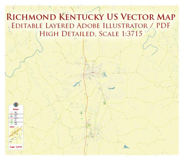
Principal waterways, bridges, and main streets in Richmond, Kentucky, some general information based on common features found in cities.
Vectormap.Net provide you with the most accurate and up-to-date vector maps in Adobe Illustrator, PDF and other formats, designed for editing and printing. Please read the vector map descriptions carefully.
Waterways:
- Kentucky River: Richmond is located along the Kentucky River, which is a major watercourse in the region. It plays a significant role in the city’s geography and may offer recreational opportunities.
Bridges:
- Clay’s Ferry Bridge: This bridge spans the Kentucky River and connects Madison County, including Richmond, with Fayette County.
Main Streets and Roads:
- Main Street: Main Street is often a central thoroughfare in many cities, and Richmond is likely to have its own Main Street hosting various businesses, shops, and services.
- Irvine Road: This road may be a significant route connecting different parts of the city.
- Eastern Bypass: Bypass roads are common in cities to divert traffic from the central areas, and Eastern Bypass may serve a similar purpose.
For the most accurate and current information, I recommend checking with the local government, transportation authorities, or using online maps and navigation services. These sources can provide real-time updates on roads, bridges, and other infrastructure in Richmond, Kentucky.


 Author: Kirill Shrayber, Ph.D. FRGS