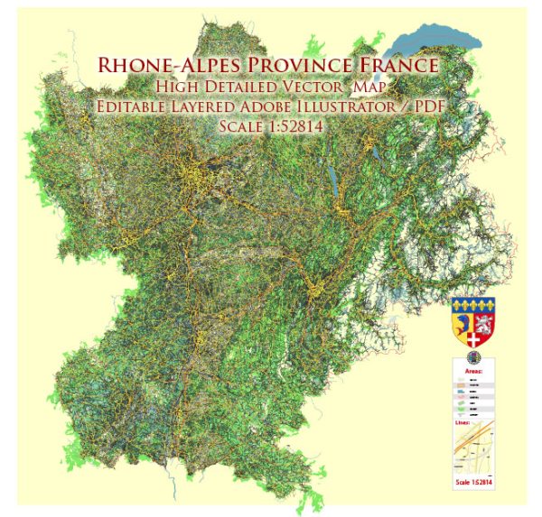
Rhône-Alpes was an administrative region in the eastern part of France, please note that administrative divisions in France were reorganized in 2016, and Rhône-Alpes is now part of the larger Auvergne-Rhône-Alpes region.
Vectormap.Net provide you with the most accurate and up-to-date vector maps in Adobe Illustrator, PDF and other formats, designed for editing and printing. Please read the vector map descriptions carefully.
Principal Cities in the Former Rhône-Alpes Region:
- Lyon: Lyon is the third-largest city in France and a major economic and cultural hub. It is known for its historical architecture, vibrant cultural scene, and gastronomy.
- Grenoble: Located in the French Alps, Grenoble is known for its scientific research centers, universities, and outdoor recreational opportunities. It has a strong focus on technology and innovation.
- Saint-Étienne: Saint-Étienne is an industrial city with a rich history in manufacturing, particularly in the field of arms and bicycles. It is part of the broader industrial region of the Loire.
- Annecy: Annecy is a picturesque town known for its stunning lake, charming old town, and the surrounding mountains. It is a popular destination for tourists and outdoor enthusiasts.
- Chambéry: Chambéry is another city in the French Alps known for its historical architecture, including the Château de Chambéry. It serves as the administrative capital of the Savoie department.
Waterways: The Rhône River is a major waterway that flows through the Rhône-Alpes region. It is one of the significant rivers in Europe, originating in Switzerland and passing through France before flowing into the Mediterranean Sea. The Rhône River is important for transportation, and its valley is known for its vineyards and agricultural activities.
Main Roads: The Rhône-Alpes region was well-connected by a network of highways and roads. Some of the major roads included:
- A6 (Autoroute du Soleil): Connects Paris to Lyon and continues southward towards the Mediterranean.
- A7: Connects Lyon to Marseille, running parallel to the Rhône River.
- A40: Connects Mâcon to Geneva, providing a route through the Alps.
- A43: Connects Lyon to Chambéry and continues towards the French Alps.
- A48: Connects Lyon to Grenoble.
Keep in mind that infrastructure and road networks may have been updated or expanded since my last update, so it’s advisable to check current maps or local sources for the most recent information.


 Author: Kirill Shrayber, Ph.D. FRGS