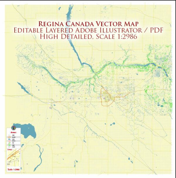
Regina, the capital city of Saskatchewan, Canada, is located on the vast and flat prairies. While it doesn’t have extensive waterways compared to some other cities, it does have a few notable features in terms of water bodies, bridges, and main streets.
1. Waterways:
- Wascana Lake: One of the prominent features of Regina is Wascana Lake, an artificial lake located in the heart of the city. The lake is surrounded by parkland and is a popular spot for recreational activities such as walking, jogging, and boating.
2. Bridges:
- Albert Memorial Bridge: This historic bridge spans Wascana Lake and connects the downtown area with the legislative buildings and the University of Regina. It offers picturesque views of the lake and the surrounding landscape.
- Broad Street Bridge: Another notable bridge in Regina, it spans Wascana Creek and connects the downtown area with the neighborhoods to the north.
3. Main Streets:
- Victoria Avenue: Victoria Avenue is one of the main east-west thoroughfares in Regina. It is a commercial hub with a mix of retail stores, restaurants, and businesses. The street is often bustling with activity, especially in the downtown area.
- Albert Street: Running north-south, Albert Street is another major artery in Regina. It passes through the downtown core and features a variety of shops, offices, and services.
- Dewdney Avenue: This street is known for its diverse range of businesses and services. It cuts across the city from west to east and is an important route for both residents and commuters.
4. Other Points of Interest:
- Downtown Regina: The downtown area is a mix of modern and historic buildings, offering shopping, dining, and entertainment options.
- Legislative Building: Overlooking Wascana Lake, the Saskatchewan Legislative Building is an iconic structure with beautiful grounds, open to the public.
While Regina may not have an extensive network of waterways or numerous bridges, its charm lies in the combination of the prairie landscape, Wascana Lake, and the well-planned roadways that connect the city. The city’s layout and infrastructure contribute to a comfortable and accessible urban environment.


 Author: Kirill Shrayber, Ph.D. FRGS