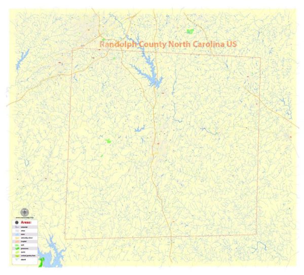
About Randolph County, North Carolina’s principal waterways, bridges, and main streets, a general information and guidance on where you can find this information.
Vectormap.Net provide you with the most accurate and up-to-date vector maps in Adobe Illustrator, PDF and other formats, designed for editing and printing. Please read the vector map descriptions carefully.
- Waterways: Randolph County is located in the Piedmont region of North Carolina and is known for its rolling hills and diverse landscapes. Some of the significant waterways in the county may include rivers, creeks, and lakes. The Deep River is one of the major rivers in this region. You may want to check with local government sources, such as the Randolph County government website or the North Carolina Department of Environmental Quality, for detailed information on waterways.
- Bridges: Randolph County likely has various bridges that span its waterways and road systems. Information about these bridges, including their locations and types, can be obtained from local transportation authorities. The North Carolina Department of Transportation (NCDOT) is a valuable resource for details on bridges, road infrastructure, and transportation projects in the state.
- Main Streets: Randolph County includes several towns and communities, each with its own main streets. Asheboro is the largest city in the county, and its downtown area likely has a central main street. Similarly, other towns like Archdale, Randleman, and Liberty may have prominent streets. Local municipal websites, chambers of commerce, or city planning departments are good places to find information on main streets and downtown areas.
For the most up-to-date and detailed information, consider reaching out to the following sources:
- Randolph County Government: Check the official website or contact the county administration for information on waterways, bridges, and infrastructure projects.
- North Carolina Department of Transportation (NCDOT): The NCDOT website provides information on transportation infrastructure, including bridges and roadways.
- Local Chambers of Commerce: Local chambers often have information about businesses and key areas in each community, including main streets.
- City and Town Websites: The official websites of Asheboro and other towns in Randolph County may provide details about local infrastructure and development.


 Author: Kirill Shrayber, Ph.D. FRGS