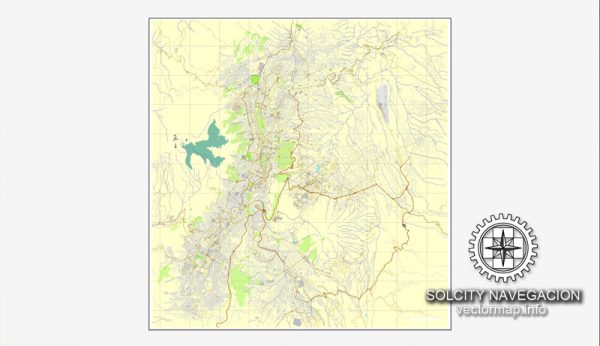
A general description of some of the principal waterways, bridges, and main streets in Quito, Ecuador. Vectormap.Net provide you with the most accurate and up-to-date vector maps in Adobe Illustrator, PDF and other formats, designed for editing and printing. Please read the vector map descriptions carefully.
Principal Waterways: Quito is situated in a mountainous region, and it doesn’t have major navigable rivers. Instead, the city is known for its various smaller streams and rivers that flow through its neighborhoods. Some notable waterways include the Machángara River, which runs through the southern part of the city.
Bridges: Several bridges span the rivers and ravines in Quito, facilitating transportation across the city. One of the iconic bridges is the Guayasamín Bridge, which connects the valleys of Cumbayá and Tumbaco. Additionally, there are various smaller bridges throughout the city that connect different neighborhoods.
Main Streets: Quito’s road network is extensive, with several main streets and avenues connecting different parts of the city. Some of the key streets include:
- Avenida Amazonas: This is a major north-south avenue that runs through the heart of Quito, connecting the historic center with the northern and southern parts of the city.
- Avenida de los Shyris: Another important avenue, it intersects Avenida Amazonas and leads to the popular La Carolina Park.
- Avenida 10 de Agosto: This avenue runs from the historic center to the northern part of the city, passing through various neighborhoods.
- Avenida Naciones Unidas: This avenue is known for its commercial activity and connects the northern and southern parts of the city.
- Calles Garcia Moreno and Juan Montalvo: These streets are located in the historic center and are known for their colonial architecture, with many historic buildings and landmarks.
It’s worth noting that Quito’s road system can be complex due to its hilly terrain and rapid urban expansion. The city has been investing in improving its transportation infrastructure in recent years, so there may be changes and developments that have occurred since my last update. For the most current information, it’s recommended to check with local sources or the municipal government.


 Author: Kirill Shrayber, Ph.D. FRGS