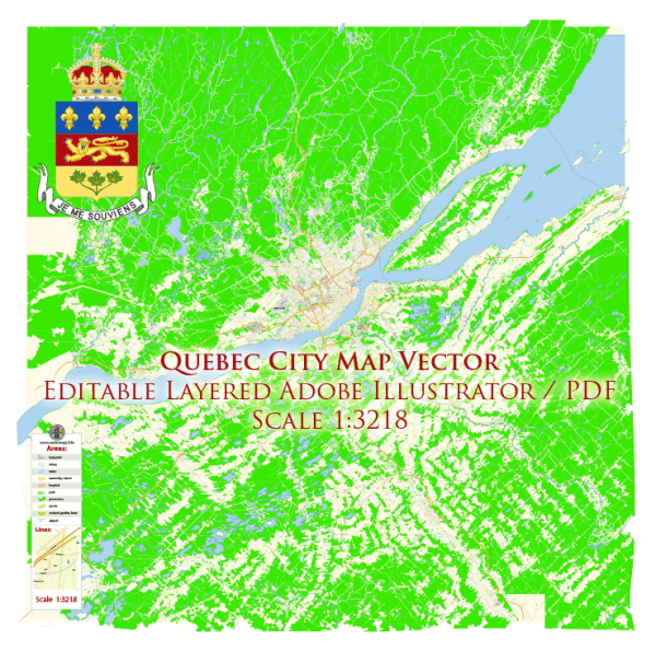
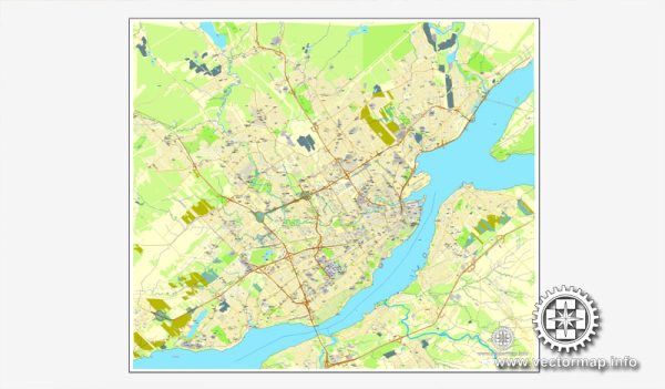
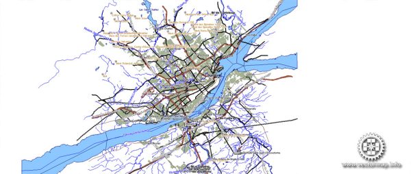
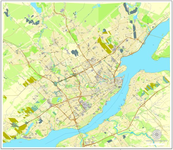
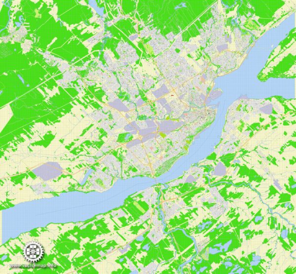
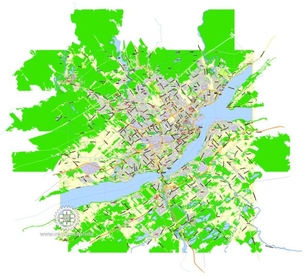
Quebec City, situated along the Saint Lawrence River in the province of Quebec, Canada, features a unique blend of historic charm and modern amenities. Here’s an overview of some of the principal waterways, bridges, and main streets in the city:
Waterways:
- Saint Lawrence River:
- Quebec City is located on the north bank of the Saint Lawrence River, one of the most significant waterways in North America.
- The river plays a crucial role in the city’s history, economy, and transportation.
Bridges:
- Quebec Bridge:
- The Quebec Bridge is an iconic cantilever bridge that spans the Saint Lawrence River, connecting the city with the south shore.
- It is one of the world’s longest cantilever bridges and a historic engineering marvel.
- Pierre Laporte Bridge:
- Connecting the central part of Quebec City with the south shore, the Pierre Laporte Bridge is another important river crossing.
- It provides a key transportation link and offers stunning views of the city and surrounding landscape.
Main Streets:
- Rue Saint-Jean:
- This is one of the main streets in Old Quebec, known for its charming shops, boutiques, and restaurants.
- Rue Saint-Jean is a vibrant and lively street with a mix of historic architecture and modern amenities.
- Grande Allée:
- Grande Allée is a broad avenue lined with elegant homes, restaurants, and bars.
- It is a popular destination for nightlife, fine dining, and cultural events.
- Champlain Boulevard:
- Running along the riverfront, Champlain Boulevard offers picturesque views of the Saint Lawrence River and the Old Port.
- It is a scenic route for a leisurely stroll or drive.
- Boulevard René-Lévesque:
- This major thoroughfare cuts through the heart of the city, offering access to key attractions, business districts, and residential areas.
- It’s a central route for both locals and tourists, connecting various neighborhoods.
- Avenue Honoré-Mercier:
- Running parallel to the river, this avenue is known for its parks, green spaces, and recreational areas.
- It provides a peaceful atmosphere and is a popular spot for outdoor activities.
Quebec City’s layout, with its historic core and modern expansions, is characterized by a network of streets and bridges that showcase the city’s rich history and its connection to the Saint Lawrence River. The combination of old-world charm and contemporary urban planning makes Quebec City a unique and captivating destination.
Vectormap.Net provide you with the most accurate and up-to-date vector maps in Adobe Illustrator, PDF and other formats, designed for editing and printing. Please read the vector map descriptions carefully.

 Author: Kirill Shrayber, Ph.D. FRGS