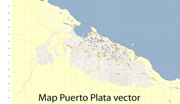
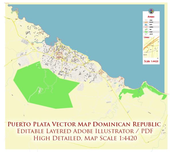
Some general information about Puerto Plata in the Dominican Republic, including its principal waterways, bridges, and main streets. Vectormap.Net provide you with the most accurate and up-to-date vector maps in Adobe Illustrator, PDF and other formats, designed for editing and printing. Please read the vector map descriptions carefully.
Puerto Plata Overview:
Principal Waterways:
- Yásica River: One of the significant rivers in the Puerto Plata region, the Yásica River flows through various areas, contributing to the local geography and ecosystems.
- San Marcos River: Another river in the region, the San Marcos River, may also be noteworthy for its impact on the local landscape.
Bridges:
- Puente San Felipe (San Felipe Bridge): This bridge is an iconic landmark in Puerto Plata. It spans the Yásica River and connects different parts of the city.
- Puente de la Septentrional (Northern Bridge): This bridge is crucial for transportation and connectivity, likely spanning one of the major rivers in the area.
Main Streets:
- Avenida Manolo Tavares Justo: Avenida Manolo Tavares Justo is a significant avenue in Puerto Plata, often hosting various commercial and cultural activities.
- Avenida Luis Ginebra: This avenue may serve as a main thoroughfare in the city, contributing to the overall transportation network.
- Calle Beller: Calle Beller is one of the streets that might play a role in the city’s infrastructure and urban layout.
- Calle Principal: As the name suggests, “Calle Principal” could be one of the primary streets in Puerto Plata, possibly hosting shops, businesses, and other establishments.


 Author: Kirill Shrayber, Ph.D. FRGS