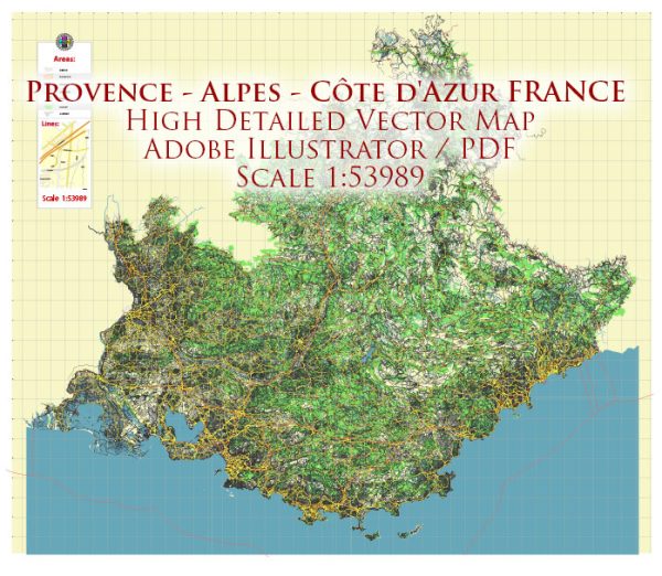
Provence-Alpes-Côte d’Azur is a region in the southeastern part of France known for its stunning landscapes, Mediterranean coastline, and picturesque cities. Here are some of the principal cities, waterways, and main roads in the region:
Principal Cities:
- Marseille:
- The largest city in the region and a major Mediterranean port.
- Known for its vibrant culture, historical sites like the Old Port, and diverse cuisine.
- Nice:
- Located on the French Riviera, Nice is a popular tourist destination.
- Famous for its Promenade des Anglais, beautiful beaches, and cultural attractions.
- Toulon:
- A naval port city with a rich maritime history.
- Features historic sites, including the Toulon Cathedral and the Old Town.
- Aix-en-Provence:
- Known for its well-preserved architecture, cultural events, and charming streets.
- Famous for the Cours Mirabeau, a tree-lined avenue with fountains and markets.
- Avignon:
- Home to the historic Palais des Papes (Palace of the Popes) and the famous Pont Saint-Bénézet.
- Known for its annual theater festival and medieval architecture.
Waterways:
- Rhône River:
- Flows through the western part of the region, including cities like Avignon.
- Important for transportation and irrigation.
- Verdon River:
- Flows through the Verdon Gorge, a spectacular canyon known for its turquoise waters.
- Durance River:
- A major tributary of the Rhône, flowing through the Alps and Provence.
Main Roads:
- A7 (Autoroute du Soleil):
- Connects Lyon to Marseille, passing through the heart of Provence.
- A8 (La Provençale):
- A major highway running along the French Riviera, connecting Aix-en-Provence to Nice and the Italian border.
- N7 (Route Nationale 7):
- A historic route that traverses the region, connecting Lyon to Nice.
- D99 (Corniche d’Or):
- A scenic coastal road offering breathtaking views of the Mediterranean.
- D943 (Route Napoléon):
- Follows the route taken by Napoleon Bonaparte on his return from Elba, passing through the Alps and Provence.
Provence-Alpes-Côte d’Azur is renowned for its diverse landscapes, from the lavender fields of Provence to the glamorous beaches of the Côte d’Azur, making it a captivating region to explore.
Vectormap.Net provide you with the most accurate and up-to-date vector maps in Adobe Illustrator, PDF and other formats, designed for editing and printing. Please read the vector map descriptions carefully.


 Author: Kirill Shrayber, Ph.D. FRGS