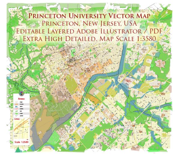
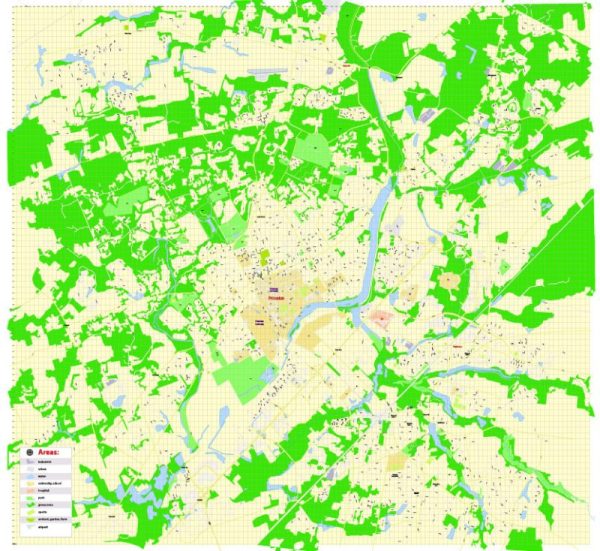
A general description of some of the principal waterways, bridges, and main streets in Princeton, New Jersey, USA. Vectormap.Net provide you with the most accurate and up-to-date vector maps in Adobe Illustrator, PDF and other formats, designed for editing and printing. Please read the vector map descriptions carefully.
Waterways:
- Stony Brook: A prominent waterway that flows through the Princeton area. It has historical significance and adds to the natural beauty of the region.
Bridges:
- Washington Road Bridge: This bridge spans over Stony Brook and connects the eastern and western parts of Princeton. It is a notable structure in the area.
Main Streets:
- Nassau Street: Nassau Street is one of the main thoroughfares in Princeton. It runs through the heart of downtown Princeton and is lined with shops, restaurants, and cultural attractions.
- Witherspoon Street: Another important street in Princeton, Witherspoon Street is known for its historical significance and is home to various businesses and community landmarks.
- University Place: This street runs adjacent to the Princeton University campus and is a key route for accessing various university buildings and facilities.
Keep in mind that Princeton is a historic town, and its layout reflects a blend of academic, residential, and commercial areas. The presence of Princeton University greatly influences the character of the town. Additionally, local developments and infrastructure projects may result in changes to the waterways, bridges, and streets, so it’s advisable to check with local authorities or maps for the latest information.


 Author: Kirill Shrayber, Ph.D. FRGS