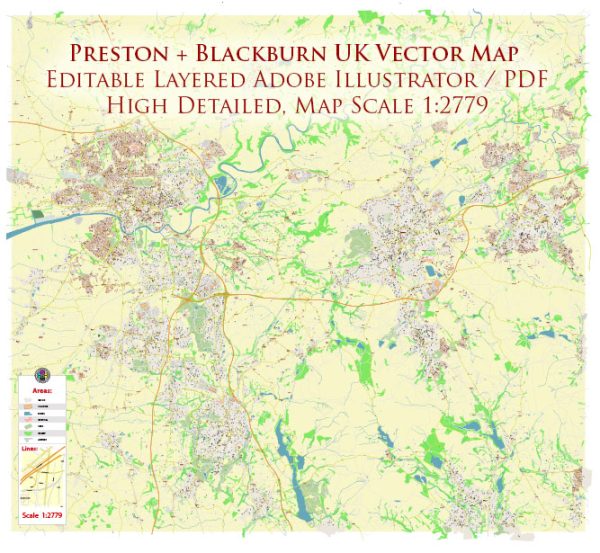
Some general information about the principal waterways, bridges, and main streets in Preston and Blackburn, both of which are located in Lancashire, England. Vectormap.Net provide you with the most accurate and up-to-date vector maps in Adobe Illustrator, PDF and other formats, designed for editing and printing. Please read the vector map descriptions carefully.
Preston, UK:
Waterways:
- River Ribble: The River Ribble is a significant waterway that runs through Preston. It plays a crucial role in the city’s geography and has various parks and walking paths along its banks.
Bridges:
- Preston Railway Station Bridge: This bridge connects the two sides of the city, providing a vital link for pedestrians and vehicles near the railway station.
Main Streets:
- Fishergate: Fishergate is one of the main shopping streets in Preston, featuring a mix of retail stores, restaurants, and cafes.
- Church Street: Another notable street with shops and businesses, often hosting events and activities.
Blackburn, UK:
Waterways:
- River Blakewater: Blackburn is situated near the confluence of the Rivers Blakewater and Darwen.
Bridges:
- Frederic Street Bridge: This is one of the bridges that crosses the River Blakewater in Blackburn, connecting different parts of the town.
Main Streets:
- King William Street: A prominent street in Blackburn with a range of shops, restaurants, and businesses.
- Ainsworth Street: Another central street in the town with various amenities and services.
Important Note:
Cities often undergo changes in infrastructure, and new developments may occur. It’s advisable to check with local sources or recent maps for the latest and most accurate information on waterways, bridges, and main streets in Preston and Blackburn.


 Author: Kirill Shrayber, Ph.D. FRGS