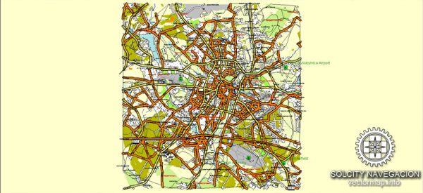
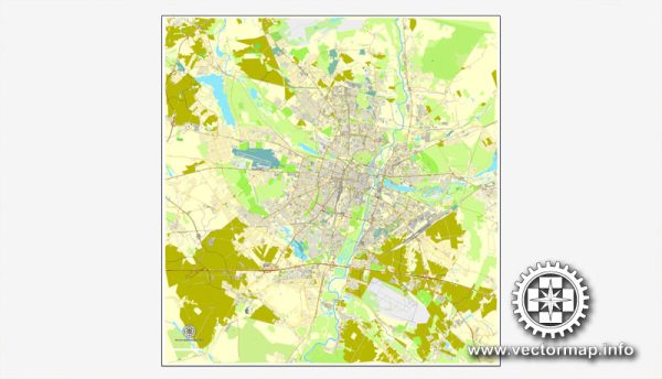
A general overview of the principal waterways, bridges, and main streets in Poznań, Poland. Vectormap.Net provide you with the most accurate and up-to-date vector maps in Adobe Illustrator, PDF and other formats, designed for editing and printing. Please read the vector map descriptions carefully.
Waterways:
- Warta River: The Warta River flows through Poznań, dividing the city into two parts. It is the main waterway and has played a significant role in the city’s history and development.
- Cybina River: A tributary of the Warta River, the Cybina also runs through Poznań, contributing to the city’s hydrography.
Bridges:
- Jordan Bridge (Most Jordana): This is one of the most iconic bridges in Poznań, connecting Śródka and Chwaliszewo. It offers picturesque views of the Warta River and the Old Town.
- Świętokrzyski Bridge (Most Świętokrzyski): Located near the Cathedral Island, this bridge is an essential connection between the Old Town and the western part of the city.
- Królowej Jadwigi Bridge: This bridge spans the Warta River and is a vital transportation link connecting different districts of Poznań.
Main Streets:
- Święty Marcin Street: One of the main streets in Poznań, Święty Marcin is known for its historic architecture, shops, and cultural institutions.
- Aleje Marcinkowskiego: This avenue is a central part of Poznań, lined with shops, cafes, and important public buildings. It’s a popular place for both locals and tourists.
- Wielka Street: Located in the Old Town, Wielka Street is known for its historic buildings and charming atmosphere. It’s a significant part of Poznań’s cultural and architectural heritage.
- Mostowa Street: This street runs along the Warta River and offers scenic views. It is part of the historic district of Śródka.
Please verify this information with up-to-date sources, as urban landscapes can change, and new developments may have occurred since my last update.


 Author: Kirill Shrayber, Ph.D.