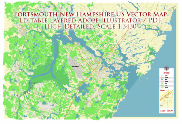
Portsmouth, New Hampshire, is a historic city located along the Piscataqua River. The city’s layout is influenced by its maritime history, and it features several notable waterways, bridges, and main streets. Here’s a brief description of these elements:
Waterways:
- Piscataqua River: The Piscataqua River is a tidal estuary that separates New Hampshire and Maine. It is a significant waterway for Portsmouth, playing a crucial role in its maritime activities.
- North Mill Pond: Located in the northern part of the city, North Mill Pond is an inlet connected to the Piscataqua River. It adds to the city’s picturesque waterfront.
- South Mill Pond: Similar to North Mill Pond, South Mill Pond is located to the south of the city. It also contributes to Portsmouth’s scenic waterfront and is surrounded by parks and recreational areas.
Bridges:
- Memorial Bridge: Connecting Portsmouth, New Hampshire, and Kittery, Maine, the Memorial Bridge is a lift bridge that spans the Piscataqua River. It has historical significance and provides stunning views of the river and surrounding areas.
- Sarah Mildred Long Bridge: This is another important bridge spanning the Piscataqua River, connecting Portsmouth with Kittery. It is a vertical lift bridge, facilitating both vehicular and maritime traffic.
- I-95 Bridge: The Interstate 95 Bridge is part of the Interstate 95 highway system, crossing the Piscataqua River and connecting Portsmouth with nearby communities.
Main Streets:
- Market Street: Running through the heart of downtown Portsmouth, Market Street is a vibrant and bustling thoroughfare lined with shops, restaurants, and historic buildings. It is a central part of the city’s commercial and cultural activities.
- Congress Street: Parallel to Market Street, Congress Street is another important downtown street featuring a mix of businesses, art galleries, and historic sites. It intersects with Market Street and leads to various attractions in the area.
- State Street: State Street is known for its historic architecture and is home to many colonial-era buildings. It runs perpendicular to Market Street and connects the downtown area to the South End and the historic Strawberry Banke Museum.
Portsmouth’s layout and infrastructure reflect its rich history and maritime heritage, making it a charming and picturesque city with a mix of modern amenities and historic charm.
Vectormap.Net provide you with the most accurate and up-to-date vector maps in Adobe Illustrator, PDF and other formats, designed for editing and printing. Please read the vector map descriptions carefully.


 Author: Kirill Shrayber, Ph.D. FRGS