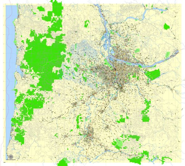
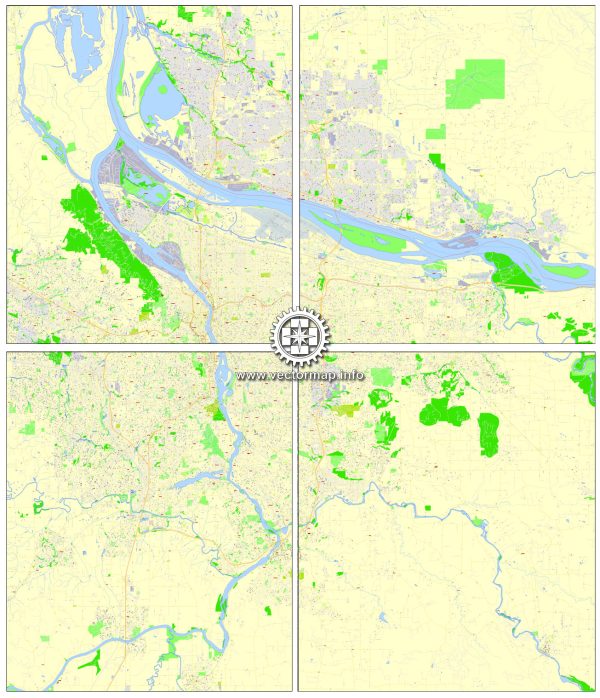
A general description of the principal streets and roads in Portland, Vancouver, Oregon City, and Salem. Vectormap.Net provide you with the most accurate and up-to-date vector maps in Adobe Illustrator, PDF and other formats, designed for editing and printing. Please read the vector map descriptions carefully.
Portland, Oregon:
- Burnside Street: One of the major east-west streets, known for its eclectic mix of businesses and cultural attractions.
- Broadway: Runs north-south and is notable for its theaters and entertainment venues.
- Hawthorne Boulevard: A popular eastside street with a vibrant atmosphere, featuring a mix of shops, restaurants, and cafes.
- Interstate 5 (I-5): A major north-south interstate highway passing through Portland, connecting the city to other parts of Oregon and Washington.
- Powell Boulevard: Another significant east-west street with a mix of residential and commercial areas.
Vancouver, Washington:
- Main Street: Historic downtown street with a mix of shops, restaurants, and cultural attractions.
- Highway 14: An east-west highway along the Columbia River, providing access to various communities in Washington.
- Mill Plain Boulevard: Major east-west thoroughfare with commercial developments and residential areas.
Oregon City, Oregon:
- Main Street: The historic downtown area with shops, restaurants, and views of the Willamette Falls.
- Molalla Avenue: A key road running through Oregon City, connecting various neighborhoods and commercial areas.
Salem, Oregon:
- Commercial Street: The main downtown street with shops, restaurants, and government buildings.
- Lancaster Drive: A major north-south thoroughfare featuring a mix of commercial and residential developments.
- Highway 22: An important east-west highway connecting Salem to the coast and eastern Oregon.
Please note that urban development and infrastructure can change, so it’s always a good idea to consult local sources or maps for the most up-to-date information on principal streets and roads in these cities.


 Author: Kirill Shrayber, Ph.D. FRGS