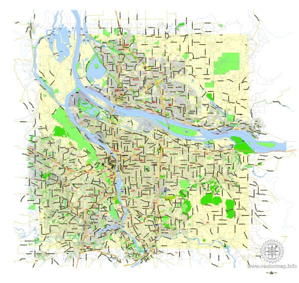
Portland, Oregon, and Vancouver, Washington, are neighboring cities located in the Pacific Northwest region of the United States, separated by the Columbia River. Each city has its own unique features, including waterways, bridges, and main streets.
Portland, Oregon:
- Waterways:
- The Willamette River flows through the heart of Portland, dividing the city into east and west sides. The Columbia River also forms the northern boundary of the city.
- Bridges:
- St. Johns Bridge: This iconic suspension bridge spans the Willamette River in the northwestern part of Portland, connecting the St. Johns neighborhood.
- Burnside Bridge: One of the main downtown bridges crossing the Willamette River.
- Hawthorne Bridge: Another important downtown bridge, known for its distinctive vertical lift span.
- Steel Bridge: This double-deck bridge is a notable landmark with both vehicular and light rail transit on its upper deck.
- Main Streets:
- Burnside Street: A major east-west street that traverses the city, known for its diverse range of shops, restaurants, and nightlife.
- Hawthorne Boulevard: Located on the east side, it is known for its eclectic mix of shops, cafes, and historic architecture.
- Northwest 23rd Avenue (Nob Hill): A trendy area with boutique shops, upscale dining, and historic architecture.
Vancouver, Washington:
- Waterways:
- Vancouver is situated on the north bank of the Columbia River.
- Bridges:
- Interstate Bridge: This is a twin-span bridge connecting Vancouver with Portland. It carries Interstate 5 over the Columbia River.
- Fort Vancouver National Historic Site Pedestrian Bridge: Connects the city with the historic Fort Vancouver and Officer’s Row.
- Main Streets:
- Main Street: The historic downtown area of Vancouver features charming streets with a mix of shops, restaurants, and cultural attractions.
- Officers Row: Located near the historic Fort Vancouver, this street is lined with preserved 19th-century homes and is part of the National Historic Site.
- Columbia Street: Running along the waterfront, it offers views of the Columbia River and access to the waterfront trail.
Both cities have vibrant downtown areas, cultural attractions, and outdoor spaces, making them popular destinations in the Pacific Northwest. The connectivity provided by the bridges plays a crucial role in facilitating travel and commerce between Portland and Vancouver.


 Author: Kirill Shrayber, Ph.D.