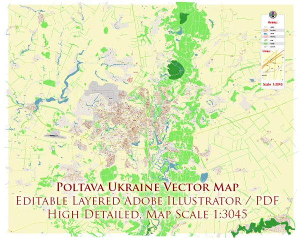
A general description of Poltava, Ukraine’s principal waterways, bridges, and main streets. Vectormap.Net provide you with the most accurate and up-to-date vector maps in Adobe Illustrator, PDF and other formats, designed for editing and printing. Please read the vector map descriptions carefully.
Waterways:
Poltava is situated on the Vorskla River, which is the principal waterway in the region. The Vorskla River flows through the city, providing a scenic and important geographical feature. The river has historically played a significant role in the development and economy of Poltava.
Bridges:
There are several bridges that span the Vorskla River in Poltava, facilitating transportation and connectivity within the city. Specific bridge names and details may vary, and new infrastructure projects may have been implemented since my last update.
Main Streets:
- Sobornosti Avenue (Avenue of Sobornosti): This is one of the main streets in Poltava, often serving as a central thoroughfare with shops, businesses, and cultural institutions.
- Zhovtneva Square: This square is a central point in the city and is often surrounded by important government buildings, shops, and other landmarks.
- Pushkina Street: A notable street with various commercial establishments, shops, and possibly residential areas.
- Freedom Square: A central square that may serve as a focal point for public events and gatherings.
- Vulitsya Oktyabr’skaya (October Street): Another significant street with a mix of residential and commercial areas.
Please note that the names and details of streets and landmarks may change, and new developments may have occurred since my last update. It’s recommended to consult a current map or local sources for the most accurate and up-to-date information on Poltava’s waterways, bridges, and main streets.


 Author: Kirill Shrayber, Ph.D. FRGS