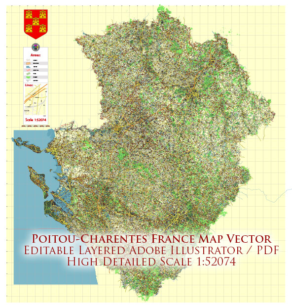
Poitou-Charentes was an administrative region in western France. However, please note that administrative divisions can change, and as of 2016, Poitou-Charentes was merged with two other regions (Aquitaine and Limousin) to form the new administrative region called Nouvelle-Aquitaine. Vectormap.Net provide you with the most accurate and up-to-date vector maps in Adobe Illustrator, PDF and other formats, designed for editing and printing. Please read the vector map descriptions carefully.
Assuming Poitou-Charentes is still relevant, here is a brief description of its principal cities, waterways, and main roads as of 2022:
Principal Cities:
- Poitiers: The capital city of the region, known for its rich history and architectural heritage. It is home to historical sites such as the Notre-Dame la Grande and the Palace of Poitiers.
- La Rochelle: A coastal city known for its picturesque Old Port, historic architecture, and maritime atmosphere.
- Angoulême: Famous for its International Comics Festival, Angoulême is a city located on a plateau overlooking the Charente River.
- Niort: Situated on the Sèvre Niortaise River, Niort is known for its medieval castle and is an important administrative and commercial center.
Waterways:
- Charente River: The Charente River flows through the region, passing through cities like Angoulême and Niort. It has historically been an important transportation route.
- Sèvre Niortaise River: This river flows through Niort and is a tributary of the Charente River.
Main Roads:
- A10: A major north-south highway that passes through the region, connecting cities like Poitiers and Angoulême.
- N10: Another important road, running parallel to the A10 and connecting various towns and cities in the region.
- N11: Connecting La Rochelle and Niort, this road is important for transportation in the western part of the region.
Please verify this information with up-to-date sources, as administrative divisions and infrastructure can change over time.


 Author: Kirill Shrayber, Ph.D. FRGS