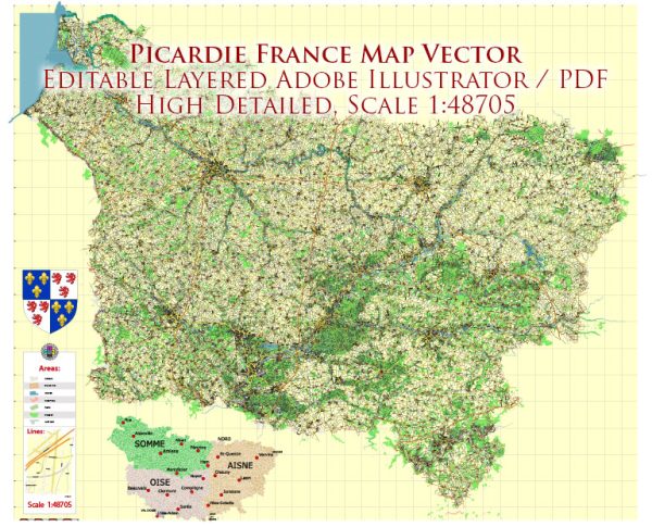
Picardie is a historical region located in northern France. However, it’s important to note that administrative regions in France have been reorganized, and Picardie no longer exists as a separate administrative region. It has been merged with Nord-Pas-de-Calais to form the new region called Hauts-de-France.
Information about some of the principal cities, waterways, and main roads that were historically associated with Picardie:
Principal Cities:
- Amiens: The capital city of the former Picardie region, known for its beautiful Gothic cathedral, which is a UNESCO World Heritage site.
- Beauvais: Famous for its cathedral with a soaring Gothic tower and as a transportation hub with an international airport.
- Saint-Quentin: A city with a rich history, featuring a medieval core and several impressive buildings.
Waterways:
- River Somme: The Somme River flows through the region, passing through Amiens. It has played a significant role in the history of the area.
- Canal de la Somme: This canal runs parallel to the Somme River and connects the city of Saint-Quentin to the Somme River.
Main Roads:
- A1 Autoroute (Lille-Paris): One of the major highways passing through the region, connecting the cities of Lille and Paris.
- A16 Autoroute (Calais/ Boulogne-sur-Mer to Amiens): A key highway linking the northern coast of France to the interior, passing through the Picardie region.
- N1 and N25 National Roads: These are important national roads connecting various cities in the region and providing transportation links.
Vectormap.Net provide you with the most accurate and up-to-date vector maps in Adobe Illustrator, PDF and other formats, designed for editing and printing. Please read the vector map descriptions carefully.


 Author: Kirill Shrayber, Ph.D. FRGS