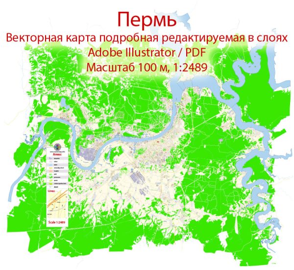
Some general information about Perm, Russia, including its principal waterways, bridges, and main streets.
Waterways:
- Kama River: Perm is situated on the banks of the Kama River, one of the longest rivers in Europe. The Kama River plays a significant role in transportation and commerce in the region.
Bridges:
- Kama River Bridge (Perm Bridge): This bridge is one of the main crossings over the Kama River, connecting different parts of the city.
Main Streets:
- Lenin Street (Lenina Street): This is one of the central streets in Perm, often hosting various events and gatherings. It is lined with shops, cafes, and cultural institutions.
- Sibirskaya Street: Another important street in Perm, known for its commercial and retail activities.
- Komsomolsky Prospekt: This avenue is significant in the city’s urban layout, hosting various businesses, residential areas, and cultural institutions.
Please note that these are general descriptions, and specific details may have changed. For the most accurate and up-to-date information, consider checking with local sources or more recent online maps and resources.
Vectormap.Net provide you with the most accurate and up-to-date vector maps in Adobe Illustrator, PDF and other formats, designed for editing and printing. Please read the vector map descriptions carefully.


 Author: Kirill Shrayber, Ph.D.