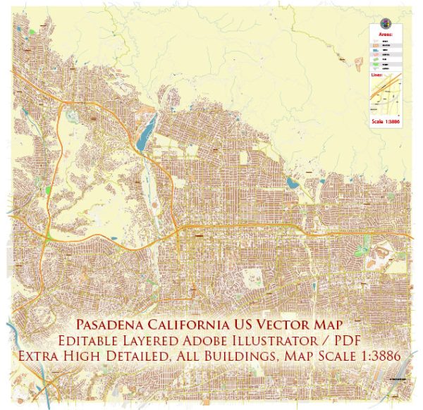
Pasadena, California, is known for its picturesque landscapes and well-planned urban layout. While it may not have major waterways like some other cities, it does have some notable features in terms of bridges and main streets. Vectormap.Net provide you with the most accurate and up-to-date vector maps in Adobe Illustrator, PDF and other formats, designed for editing and printing. Please read the vector map descriptions carefully. Here is a general description:
Waterways:
Pasadena is not directly situated on a major river or coastline, so it lacks large waterways. However, smaller channels, stormwater channels, and creeks may be found in and around the city. The city is known for its beautiful landscaping and greenery.
Bridges:
- Colorado Street Bridge (Suicide Bridge): This historic bridge spans the Arroyo Seco and is an iconic landmark in Pasadena. It offers stunning views of the surrounding area and is a popular spot for pedestrians.
- La Loma Bridge: Another bridge crossing the Arroyo Seco, the La Loma Bridge provides access to La Loma Road and the surrounding residential areas.
Main Streets:
- Colorado Boulevard: This is one of Pasadena’s major thoroughfares and a historic street known for its shopping, dining, and cultural attractions. The annual Rose Parade takes place on Colorado Boulevard.
- Fair Oaks Avenue: Another important north-south street in Pasadena, Fair Oaks Avenue is lined with shops, restaurants, and services.
- Lake Avenue: Running north-south, Lake Avenue is home to various businesses, shops, and serves as a connecting route through the city.
- Green Street: A charming street in Old Town Pasadena, Green Street features historic architecture, boutiques, and cafes, making it a popular destination for locals and visitors.
- Pasadena Freeway (SR-110): While not a traditional street, the Pasadena Freeway is a significant transportation route that connects Pasadena to downtown Los Angeles. It provides essential access to and from the city.
These are just a few examples, and Pasadena has a network of well-planned streets and avenues contributing to its urban charm. Keep in mind that development and changes to infrastructure may have occurred since my last update, so it’s advisable to check for the latest information for the most accurate details.


 Author: Kirill Shrayber, Ph.D.