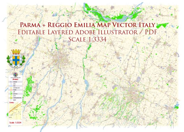
Parma and Reggio Emilia are two neighboring cities in the Emilia-Romagna region of Italy, both rich in history, culture, and architectural heritage. While they are distinct cities, they share some characteristics in terms of waterways, bridges, and main streets.
Vectormap.Net provide you with the most accurate and up-to-date vector maps in Adobe Illustrator, PDF and other formats, designed for editing and printing. Please read the vector map descriptions carefully.
Parma:
Waterways: Parma is not known for extensive waterways within the city. The primary river in the vicinity is the Parma River, which flows to the south of the city. However, the city itself is not heavily characterized by canals or significant water bodies.
Bridges: Parma has several bridges that span the Parma River and its tributaries. One notable bridge is the Ponte Verdi, a historic bridge located in the heart of the city. It provides a picturesque view of the river and is often featured in postcards and photographs.
Main Streets: Parma’s historic center is characterized by charming narrow streets lined with colorful buildings, shops, and cafes. The main street in Parma is Strada della Repubblica, which runs through the heart of the city, connecting major landmarks and squares.
Reggio Emilia:
Waterways: Similar to Parma, Reggio Emilia is not extensively traversed by waterways within the city. The Crostolo River flows near the city, but it doesn’t cut through the urban center.
Bridges: Reggio Emilia has several bridges over the Crostolo River and other smaller streams. One notable bridge is the Ponte di San Pellegrino, a historic bridge with arches that adds to the city’s architectural charm.
Main Streets: The main street in Reggio Emilia is Corso Garibaldi, a wide avenue that serves as the central thoroughfare. This street is lined with shops, cafes, and important buildings, making it a hub of activity in the city. The historic center is a network of narrow streets, such as Via Emilia, which is part of the ancient Roman road connecting Rimini to Piacenza.
Both Parma and Reggio Emilia have well-preserved historic centers, and while they may not be defined by extensive waterways like some other Italian cities, they offer a rich cultural experience with their architecture, museums, and vibrant street life.


 Author: Kirill Shrayber, Ph.D. FRGS