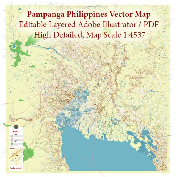
A general overview of the waterways, bridges, and main streets in Pampanga, Philippines. Vectormap.Net provide you with the most accurate and up-to-date vector maps in Adobe Illustrator, PDF and other formats, designed for editing and printing. Please read the vector map descriptions carefully.
Waterways:
- Pampanga River: This is the main river in the province, flowing from the Sierra Madre Mountains to Manila Bay. It is a significant watercourse that plays a crucial role in the province’s geography and agriculture.
- Sta. Ana River: Another notable river in Pampanga, it is a tributary of the Pampanga River and runs through several municipalities.
Bridges:
- MacArthur Highway Bridge: This bridge is a major crossing over the Pampanga River, connecting various towns and cities along MacArthur Highway.
- Jose Abad Santos Avenue (JASA) Bridge: This bridge spans the Pampanga River, linking the towns of San Fernando and Mexico.
- Baliti Bridge: Located in the town of San Fernando, this bridge serves as a crucial transportation link for the locals.
Main Streets:
- MacArthur Highway: This is one of the main thoroughfares in Pampanga, connecting various towns and cities. It is a vital commercial and transportation route.
- Jose Abad Santos Avenue (JASA): JASA is a significant road that passes through San Fernando and connects to other municipalities in Pampanga.
- Olongapo-Gapan Road: This road traverses Pampanga and connects the province to Olongapo City in Zambales and Gapan City in Nueva Ecija.
- Friendship Highway: A major road that connects Angeles City to other parts of Pampanga, including Clark Freeport Zone.


 Author: Kirill Shrayber, Ph.D. FRGS