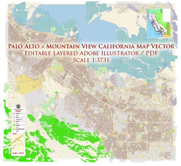
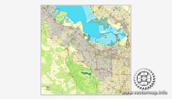
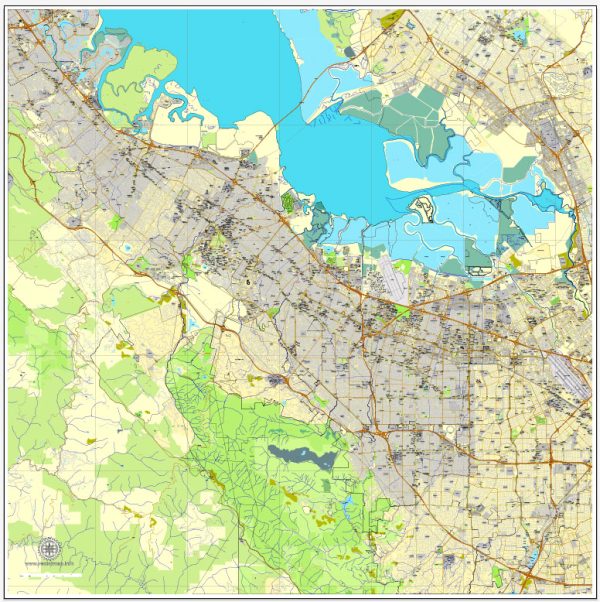
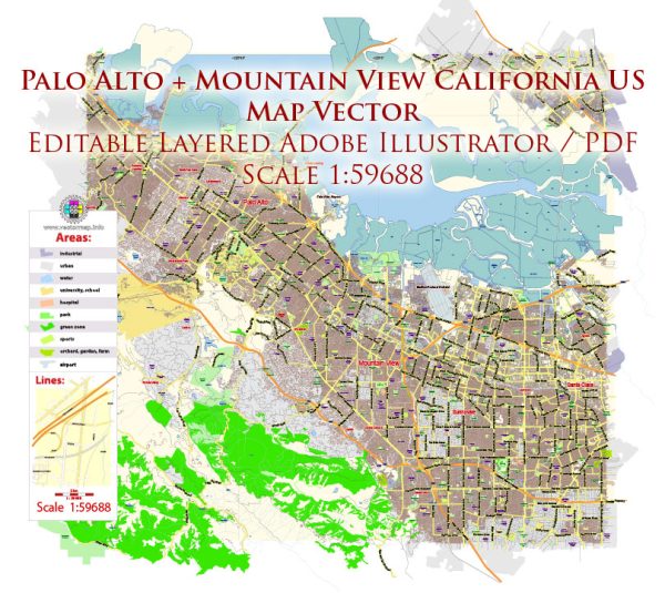
Some general information about Palo Alto and Mountain View in California. Vectormap.Net provide you with the most accurate and up-to-date vector maps in Adobe Illustrator, PDF and other formats, designed for editing and printing. Please read the vector map descriptions carefully.
Palo Alto:
- Waterways: The San Francisquito Creek runs through the eastern part of Palo Alto. It is a seasonal creek that flows from the Santa Cruz Mountains to the San Francisco Bay.
- Bridges: There are several bridges in Palo Alto that span the San Francisquito Creek. Specific names and details may vary.
- Main Streets: University Avenue is one of the main streets in Palo Alto, known for its vibrant downtown area with shops, restaurants, and cultural attractions. El Camino Real is another significant thoroughfare, running north-south and serving as a major arterial road in the region.
Mountain View:
- Waterways: Stevens Creek is a prominent waterway that runs through Mountain View. It flows from the Santa Cruz Mountains to the San Francisco Bay.
- Bridges: There are bridges over Stevens Creek and other local waterways in Mountain View. The details may vary, and some bridges may be located along major roadways.
- Main Streets: Castro Street is the main downtown thoroughfare in Mountain View, offering a variety of shops, restaurants, and entertainment options. El Camino Real also passes through Mountain View, serving as a major commercial and transportation corridor.
Both Palo Alto and Mountain View are part of the larger Silicon Valley area, known for their association with the technology industry. These cities have grown significantly over the years, and urban development may have led to changes in infrastructure. For the most current and specific information, it’s recommended to refer to local city planning offices or other authoritative sources.


 Author: Kirill Shrayber, Ph.D. FRGS