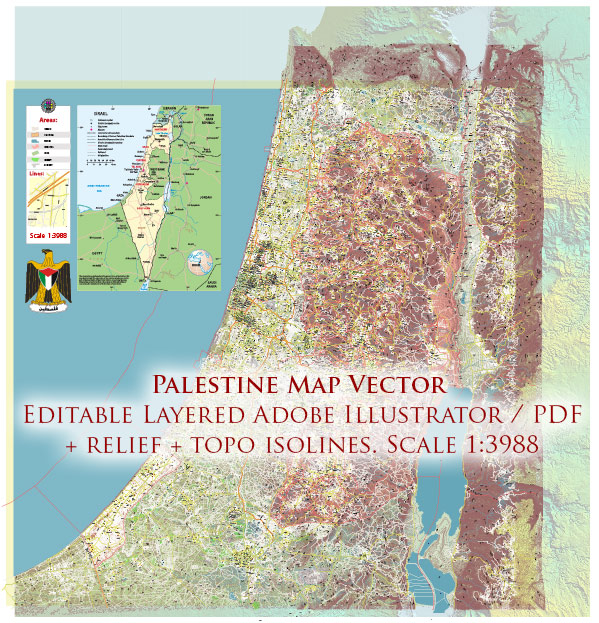
Information on some principal cities, waterways, and main roads in Palestine. Keep in mind that geopolitical situations may change, and new developments may have occurred since then. Additionally, the status and recognition of Palestine can vary internationally.
Vectormap.Net provide you with the most accurate and up-to-date vector maps in Adobe Illustrator, PDF and other formats, designed for editing and printing. Please read the vector map descriptions carefully.
Principal Cities:
- Jerusalem: One of the oldest cities in the world, it holds great religious significance for Judaism, Christianity, and Islam. It serves as the de facto capital of Israel and is also claimed as the capital of Palestine.
- Ramallah: The administrative capital of the Palestinian Authority, located in the central West Bank. It plays a significant role in Palestinian politics and governance.
- Gaza City: The largest city in the Gaza Strip, it is a vital economic and cultural center. Gaza City has faced various challenges due to political tensions and conflicts.
- Bethlehem: A city with religious importance, particularly for Christians, as it is believed to be the birthplace of Jesus Christ.
- Hebron (Al-Khalil): Located in the southern West Bank, it holds religious significance for Judaism, Christianity, and Islam. It has a complex history and is known for its ancient structures.
Waterways:
- Jordan River: A significant river that forms part of the natural border between Israel and Jordan. It has historical and religious importance and plays a crucial role in the region’s water resources.
- Mediterranean Sea: The coastline along the western border of Palestine, particularly Gaza Strip, is along the Mediterranean Sea.
Main Roads:
- Route 60: A major north-south highway in the West Bank, connecting major cities like Jenin, Nablus, Ramallah, Bethlehem, and Hebron.
- Route 443: A highway connecting Jerusalem and Tel Aviv, passing through parts of the West Bank. Its use has been a source of political and legal controversy.
- Gaza City to Rafah Highway: Connects the northern and southern parts of the Gaza Strip.
Please note that political and geographical dynamics in the region can change, and it’s advisable to consult up-to-date sources for the latest information.


 Author: Kirill Shrayber, Ph.D. FRGS