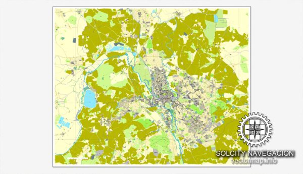
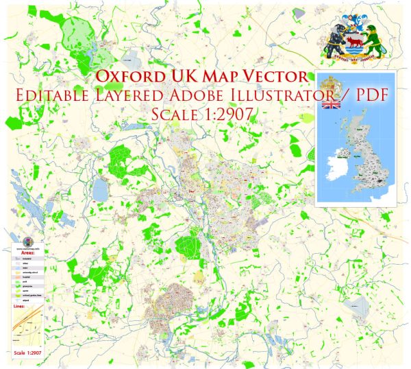
Oxford, a historic city in the United Kingdom, is known for its prestigious university, stunning architecture, and charming streets. While I can provide an overview of some of the principal streets and roads, keep in mind that Oxford has a complex network of smaller roads and lanes that contribute to its unique character. Here are some of the main streets and roads in Oxford:
- High Street:
- Description: High Street is one of the most iconic streets in Oxford, lined with historic buildings, shops, and colleges. It runs from Carfax Tower to Magdalen Bridge and is a focal point for both locals and visitors.
- St. Aldate’s:
- Description: St. Aldate’s is a major road leading south from Carfax Tower. It passes by Christ Church College, the Botanic Garden, and provides access to the Abingdon Road.
- Broad Street:
- Description: Broad Street is another important thoroughfare in Oxford, home to the historic Sheldonian Theatre, the Clarendon Building, and the Blackwell’s Bookshop. It connects with the High Street and Catte Street.
- Catte Street:
- Description: Catte Street is a short but significant street connecting Broad Street and Holywell Street. It is home to the famous Radcliffe Camera and the Bodleian Library.
- Magdalen Street:
- Description: Running north from Carfax Tower, Magdalen Street is known for its diverse range of shops and restaurants. It leads to the Magdalen Bridge and the Botanic Garden.
- Cowley Road:
- Description: Located to the southeast of the city center, Cowley Road is a vibrant and multicultural street known for its eclectic mix of shops, cafes, and restaurants.
- Banbury Road:
- Description: Banbury Road runs north from St. Giles’ and is home to several colleges, including Lady Margaret Hall and St. Anne’s College. It provides access to the University Parks.
- St. Giles’:
- Description: St. Giles’ is a wide avenue leading north from the city center. It features the Martyrs’ Memorial and is surrounded by colleges, including St. John’s College and Trinity College.
- Iffley Road:
- Description: Iffley Road runs to the southeast of the city and is known for Iffley Village and its famous Iffley Lock along the River Thames.
- Woodstock Road:
- Description: Woodstock Road runs to the northwest of the city center and is home to the beautiful University Parks. It also provides access to the suburb of Summertown.
These are just a few of the principal streets and roads in Oxford. The city’s layout is characterized by its historic architecture, colleges, and the meandering River Thames, providing a unique and picturesque setting.


 Author: Kirill Shrayber, Ph.D.