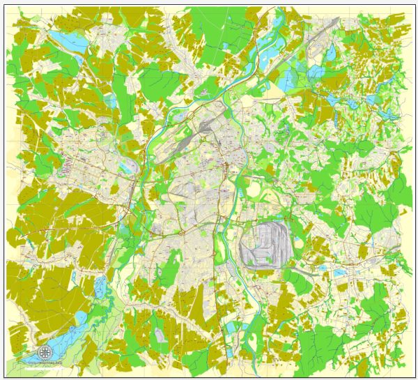
Ostrava, located in the northeastern part of the Czech Republic, is a city with a rich industrial history and cultural heritage. While Ostrava is not known for extensive waterways like some other European cities, it has some notable features in terms of bridges and main streets.
Waterways:
- Ostravice River: The Ostravice River flows through the city, providing a natural waterway. It is not a very large river but adds to the overall landscape.
Bridges:
- Bolt Tower (Boltova věž): Though not a traditional bridge, the Bolt Tower is a distinctive structure in Ostrava. Originally a blast furnace, it was transformed into a viewing tower, providing panoramic views of the city.
Main Streets:
- Stodolní Street (Stodolní ulice): This is one of the most famous and lively streets in Ostrava. It is renowned for its vibrant nightlife, with numerous bars, clubs, and restaurants.
- Masaryk Square (Masarykovo náměstí): As the main square in Ostrava, Masaryk Square is a central hub for various events and gatherings. It is surrounded by historic buildings, including the New Town Hall.
- Sokolská Street: Known for its commercial activity, Sokolská Street is a bustling area with shops, cafes, and cultural institutions.
- 28. října Street: This street is named after the establishment of Czechoslovakia on October 28, 1918. It features shops, eateries, and is part of the city’s commercial district.
While Ostrava may not have a network of waterways comparable to some other cities, its bridges and main streets contribute to its urban character and provide residents and visitors with distinctive spaces to explore and enjoy. The city’s industrial past is reflected in its architecture and landmarks, creating a unique blend of history and modernity.


 Author: Kirill Shrayber, Ph.D. FRGS