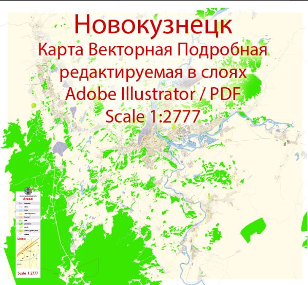
Transportation system in Novokuznetsk, Russia. Vectormap.Net provide you with the most accurate and up-to-date vector maps in Adobe Illustrator, PDF and other formats, designed for editing and printing. Please read the vector map descriptions carefully.
- Roads and Streets: Novokuznetsk, like many cities, likely has a network of roads and streets that facilitate vehicular traffic. Major roads may connect different parts of the city and provide access to important facilities and neighborhoods.
- Public Transportation: Public transportation is a common feature in Russian cities. Novokuznetsk may have buses, trolleybuses, or trams that operate within the city, providing a cost-effective means of transportation for residents.
- Rail Transportation: Given Russia’s extensive rail network, Novokuznetsk is likely to have a railway station connecting it to other cities and regions. Rail transportation is a crucial part of the country’s infrastructure.
- Air Transportation: Depending on the city’s size and economic activity, there might be an airport or nearby airports that facilitate domestic and possibly international air travel.
- Cycling and Pedestrian Infrastructure: Many cities are working to improve cycling and pedestrian infrastructure for sustainable and healthy transportation options. Look for bike lanes, pedestrian-friendly zones, and other initiatives to encourage non-motorized transportation.
- Taxi and Ride-Sharing Services: Ride-sharing services and traditional taxi options are common in urban areas, providing on-demand transportation for residents and visitors.
For the most accurate and up-to-date information about the transportation system in Novokuznetsk, I recommend checking with local authorities, transportation departments, or using online mapping services for real-time information on roads, public transportation routes, and other relevant details.


 Author: Kirill Shrayber, Ph.D. FRGS