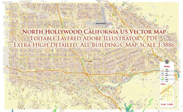
North Hollywood is a neighborhood located in the San Fernando Valley region of Los Angeles, California, United States. Vectormap.Net provide you with the most accurate and up-to-date vector maps in Adobe Illustrator, PDF and other formats, designed for editing and printing. Please read the vector map descriptions carefully. Here is some general information about the principal waterways, bridges, and main streets in the North Hollywood area:
- Principal Waterways:
- Los Angeles River: The Los Angeles River is a significant waterway in the region. While it may not be a prominent feature in North Hollywood itself, it is a notable river in the larger Los Angeles area.
- Bridges:
- Vineland Avenue Bridge: Vineland Avenue is a major street in North Hollywood, and it has a bridge that spans over the Los Angeles River.
- Main Streets:
- Lankershim Boulevard: Lankershim Boulevard is one of the main thoroughfares in North Hollywood, known for its commercial and entertainment establishments.
- Vineland Avenue: Another important street in the area, Vineland Avenue, runs through North Hollywood, providing access to various businesses and residential areas.
- Magnolia Boulevard: Magnolia Boulevard is a significant east-west street in North Hollywood, featuring shops, restaurants, and other amenities.
These are just a few examples, and there are many other streets and avenues that contribute to the local infrastructure and character of North Hollywood. It’s worth noting that development and changes to infrastructure can occur, so for the most current and detailed information, it’s advisable to refer to local maps, city planning documents, or contact local authorities. Additionally, checking with the City of Los Angeles or the North Hollywood Neighborhood Council can provide up-to-date information on the area’s infrastructure.


 Author: Kirill Shrayber, Ph.D. FRGS