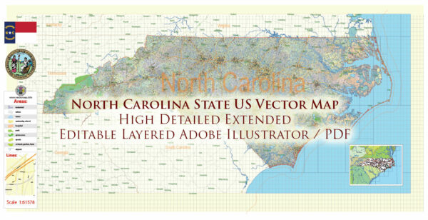
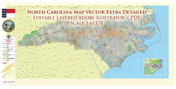
North Carolina is a southeastern state in the United States with diverse geography, encompassing coastal regions, plains, and mountains. The state is known for its vibrant cities, historic sites, and natural beauty. Here is a brief description of some principal cities, waterways, and main roads in North Carolina:
Principal Cities:
- Raleigh: The capital of North Carolina, Raleigh is part of the Research Triangle along with Durham and Chapel Hill. It’s a hub for technology, education, and government.
- Charlotte: The largest city in the state, Charlotte is a major financial hub and boasts a thriving arts scene. It’s known for its modern skyline and professional sports teams.
- Durham: Home to Duke University, Durham is part of the Research Triangle and has a rich cultural scene. The historic tobacco town has transformed into a center for technology and education.
- Winston-Salem: Known for its history in tobacco and textiles, Winston-Salem has diversified its economy and is recognized for its arts and innovation.
- Greensboro: A city with a rich history in civil rights, Greensboro is a cultural and economic hub in central North Carolina.
Waterways:
- Atlantic Ocean: The eastern border of North Carolina is lined with the Atlantic Ocean, providing the state with beautiful beaches and coastal areas.
- Pamlico Sound: Located on the eastern side of the state, Pamlico Sound is the largest lagoon on the East Coast and is a vital part of North Carolina’s coastal ecosystem.
- Cape Fear River: Flowing through the southeastern part of the state, the Cape Fear River is an important waterway for transportation and commerce.
- Neuse River: One of the longest rivers entirely contained in North Carolina, the Neuse River flows through the eastern part of the state.
Main Roads:
- Interstate 40 (I-40): This major east-west interstate runs through the center of the state, connecting Raleigh, Durham, Greensboro, and Winston-Salem.
- Interstate 85 (I-85): Running north-south, I-85 passes through Charlotte and connects major cities such as Greensboro and Durham.
- Interstate 77 (I-77): This interstate travels north-south through the western part of the state, connecting Charlotte with cities like Statesville and Elkin.
- U.S. Route 1 (US 1): Running parallel to the Atlantic coast, US 1 passes through Raleigh and connects the state with the northeastern United States.
- U.S. Route 74 (US 74): Connecting Charlotte with Wilmington, US 74 runs east-west through the southern part of the state.
These cities, waterways, and main roads contribute to North Carolina’s economic, cultural, and natural diversity. The state’s infrastructure and geography make it a significant and dynamic part of the southeastern United States.


 Author: Kirill Shrayber, Ph.D. FRGS