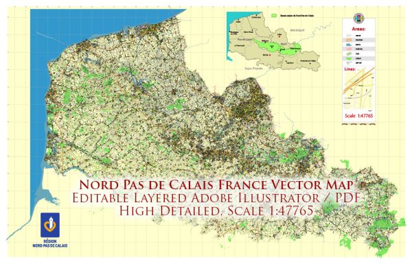
Nord-Pas-de-Calais was a former administrative region in northern France. Please note that administrative divisions might have changed since then. As of my last update, the region is now part of the larger administrative region known as Hauts-de-France.
Nord-Pas-de-Calais was known for its rich cultural heritage, historical significance, and industrial activities. Here are some principal cities, waterways, and main roads associated with the Nord-Pas-de-Calais region:
Principal Cities:
- Lille: The capital of the region, Lille, is a major urban center known for its architecture, cultural events, and universities.
- Calais: A significant port city on the English Channel, Calais has historical importance and is a major gateway between France and the United Kingdom.
- Roubaix: Known for its industrial history, particularly in textiles, Roubaix is part of the Lille metropolitan area.
- Dunkirk (Dunkerque): A port city with a rich maritime history and a strategic location on the North Sea.
- Arras: Famous for its well-preserved town square and historical significance, particularly related to World War I.
Waterways:
- Canal de la Deûle: This canal connects Lille to the Deûle River, facilitating transportation and trade.
- La Lys (Leie) River: Flowing through both France and Belgium, the Lys River is an important waterway in the region.
- English Channel: The northern border of the region is formed by the English Channel, providing access to maritime trade and transportation.
Main Roads:
- A1 (Autoroute 1): Connects Paris to Lille and continues to the Belgian border. It’s a major north-south highway.
- A25 (Autoroute 25): Connects Dunkirk to Lille, serving as a crucial east-west route.
- A16 (Autoroute 16): Runs along the northern edge of the region, connecting Calais to Dunkirk and beyond.
- N356 (Route Nationale 356): Connects Lille to the Belgian border.
- D943: A significant regional road connecting Calais to Arras.


 Author: Kirill Shrayber, Ph.D.