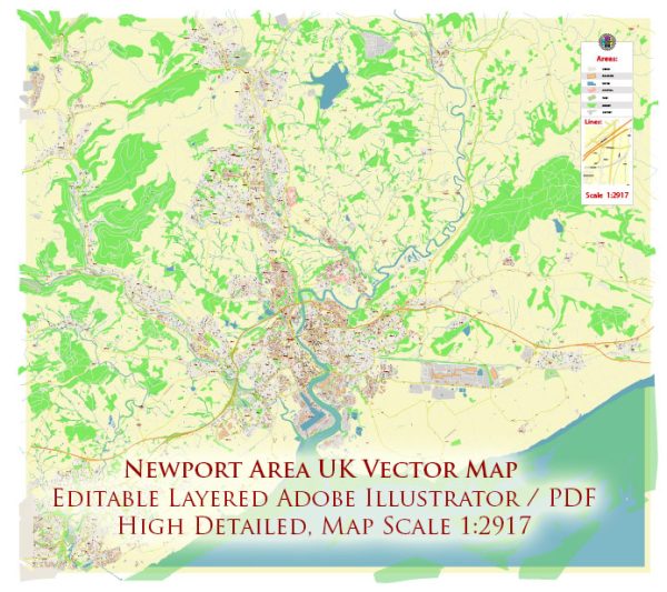
Newport is a city in South Wales, United Kingdom. Vectormap.Net provide you with the most accurate and up-to-date vector maps in Adobe Illustrator, PDF and other formats, designed for editing and printing. Please read the vector map descriptions carefully. Here are some major transportation routes in and around Newport:
- M4 Motorway: The M4 is a major motorway that runs east-west across the southern part of the United Kingdom. Newport is located along the M4 corridor, providing easy access to cities like Cardiff to the west and Bristol to the east.
- A48 Dual Carriageway: The A48 is a major road that connects Newport to other nearby towns and cities, including Cardiff and Chepstow.
- Railways: Newport has a significant railway station, Newport railway station, which is well-connected to other major cities in the UK. The Great Western Main Line runs through Newport, providing rail services to places like Cardiff, Bristol, London, and beyond.
- Bus Services: Newport has a network of bus services that connect various parts of the city and surrounding areas. The bus station is centrally located in the city.
- Cycling Routes: Newport has been working on improving cycling infrastructure, with dedicated cycling paths and routes. This is part of efforts to promote sustainable transportation.
- Bridges: The city is situated on the River Usk, and several bridges, including the Newport Transporter Bridge, provide crossings over the river.
Please note that developments in transportation infrastructure can occur, and it’s advisable to check for updates from local transportation authorities for the latest information on major transportation routes in Newport.


 Author: Kirill Shrayber, Ph.D. FRGS