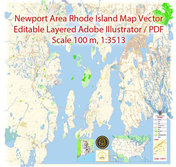
Some general information about Newport, Rhode Island, including its principal waterways, bridges, and main streets. Vectormap.Net provide you with the most accurate and up-to-date vector maps in Adobe Illustrator, PDF and other formats, designed for editing and printing. Please read the vector map descriptions carefully.
Waterways:
- Narragansett Bay: Newport is situated on Aquidneck Island and is bordered by Narragansett Bay to the west. The bay plays a significant role in the city’s maritime history and provides a scenic backdrop.
Bridges:
- Claiborne Pell Bridge (Newport Bridge): This iconic suspension bridge connects Newport on Aquidneck Island to Jamestown and the mainland of Rhode Island. It spans the East Passage of Narragansett Bay.
Main Streets:
- Thames Street: This is one of the main streets in Newport, known for its historic charm and vibrant atmosphere. Thames Street runs parallel to the waterfront and is lined with shops, restaurants, and historic buildings.
- America’s Cup Avenue: Another notable street in Newport, named after the prestigious sailing competition. It is also home to shops, galleries, and eateries.
- Spring Street: A street that intersects with Thames Street and is known for its historic architecture and boutique shops.
- Bellevue Avenue: Famous for the Newport Mansions, Bellevue Avenue is a grand thoroughfare with stunning Gilded Age mansions on either side. These mansions, such as The Breakers and The Elms, offer a glimpse into Newport’s opulent past.
- Broadway: This street is located in the northern part of Newport and offers a mix of residential and commercial establishments, including shops and restaurants.
Keep in mind that Newport is a city rich in history and maritime heritage, and its layout and infrastructure reflect this. The city is also known for its annual Newport Folk Festival and Newport Jazz Festival, drawing visitors from around the country. For the most up-to-date and detailed information, it’s recommended to check with local sources or the city’s official website.


 Author: Kirill Shrayber, Ph.D. FRGS