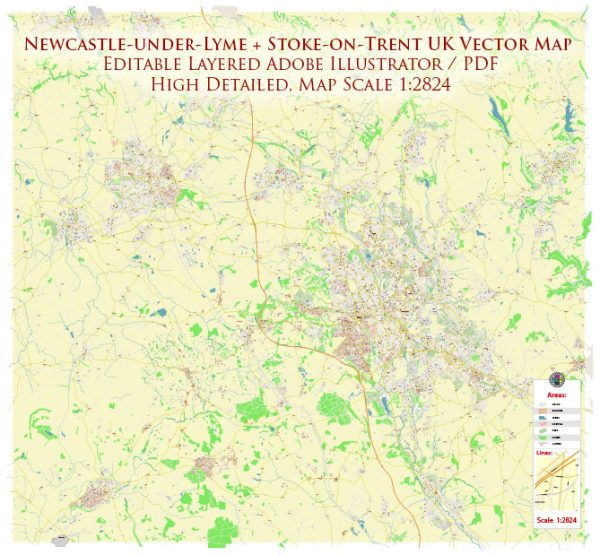
Newcastle-under-Lyme and Stoke-on-Trent are both located in Staffordshire, England, and are part of the West Midlands conurbation. While they are distinct areas, they are geographically close to each other. Here’s a brief description of their principal waterways, bridges, and main streets:
Newcastle-under-Lyme:
Waterways:
- The Lyme Brook: A small watercourse that flows through parts of Newcastle-under-Lyme.
Bridges:
- A34 Bridge: The A34 road crosses the Lyme Brook, and there are likely to be bridges associated with this major road.
Main Streets:
- High Street: As is common in many British towns, the High Street is likely to be a central thoroughfare with shops, businesses, and possibly historical architecture.
- Ironmarket: Another important street in the town center, likely with a mix of commercial and residential buildings.
Stoke-on-Trent:
Waterways:
- Trent and Mersey Canal: This significant canal passes through Stoke-on-Trent, providing a historic waterway for transportation.
- River Trent: The River Trent, one of the major rivers in England, is in proximity to Stoke-on-Trent, influencing the geography and providing recreational opportunities.
Bridges:
- Trent Bridge: A key crossing over the River Trent, connecting different parts of Stoke-on-Trent.
- Canal Bridges: Various bridges over the Trent and Mersey Canal facilitating road and pedestrian traffic.
Main Streets:
- Hanley:
- Market Square: A bustling area with shops and possibly a market, depending on the day of the week.
- Piccadilly: A major street in Hanley, likely featuring shops, restaurants, and other amenities.
- Stoke:
- Church Street: Often a central street in historic areas, possibly featuring old architecture and shops.
It’s important to note that the layout and specific details may change, and developments can occur over time. For the most accurate and up-to-date information, it’s recommended to check local sources or maps.
Vectormap.Net provide you with the most accurate and up-to-date vector maps in Adobe Illustrator, PDF and other formats, designed for editing and printing. Please read the vector map descriptions carefully.


 Author: Kirill Shrayber, Ph.D. FRGS