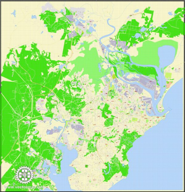
A general overview of the principal waterways, bridges, and main streets in Newcastle, Australia. Vectormap.Net provide you with the most accurate and up-to-date vector maps in Adobe Illustrator, PDF and other formats, designed for editing and printing. Please read the vector map descriptions carefully.
- Waterways:
- Hunter River: The Hunter River is a significant waterway that runs through the heart of Newcastle. It plays a crucial role in the city’s history and continues to be a focal point for recreational activities.
- Bridges:
- Stockton Bridge: Connecting Newcastle with the suburb of Stockton, the Stockton Bridge spans the Hunter River. It is a vital link for both vehicular and pedestrian traffic.
- Horseshoe Beach Bridge: This bridge provides access to the Horseshoe Beach area, enhancing connectivity in the eastern part of the city.
- Hexham Bridge: Located upstream from Newcastle, the Hexham Bridge is another important river crossing, linking the city with the suburb of Hexham.
- Main Streets:
- Hunter Street: One of the primary streets in Newcastle, Hunter Street is known for its shops, restaurants, and cultural attractions. It runs through the central business district and is a key thoroughfare.
- Scott Street: Scott Street is another notable street in Newcastle, featuring commercial establishments and connecting various parts of the city.
- King Street: Running parallel to Hunter Street, King Street is also a significant road in Newcastle, hosting a mix of businesses and services.
- Watt Street: This street is known for its historical significance and features several heritage buildings. It runs perpendicular to Hunter Street and provides access to the waterfront.
Please verify this information with local sources or maps, as developments and changes may have occurred in the time since my last update. If you have a specific area or aspect you’re interested in, feel free to ask for more detailed information.


 Author: Kirill Shrayber, Ph.D. FRGS