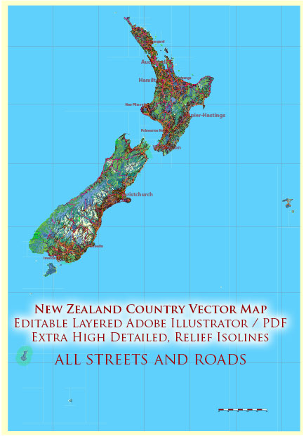
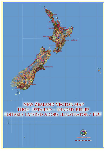
New Zealand, a picturesque island nation in the southwestern Pacific Ocean, is comprised of two main islands, the North Island and the South Island, as well as numerous smaller islands. The country is known for its stunning landscapes, diverse ecosystems, and vibrant cities. Here’s a description of some of New Zealand’s principal cities, waterways, and main roads:
Principal Cities:
- Auckland:
- Description: Located in the North Island, Auckland is the largest city in New Zealand and is often referred to as the “City of Sails” due to its extensive harbors and maritime activities. It is a major economic and cultural hub, featuring a blend of modern skyscrapers and natural beauty, with the iconic Sky Tower dominating the skyline.
- Wellington:
- Description: The capital city of New Zealand, situated at the southern tip of the North Island. Wellington is known for its vibrant arts scene, government institutions, and a picturesque harbor. It’s surrounded by hills and a rugged coastline, providing stunning views.
- Christchurch:
- Description: Located on the east coast of the South Island, Christchurch is the largest city in the South Island. Known as the “Garden City,” it is characterized by its English heritage, beautiful parks, and the Avon River flowing through the city center.
- Hamilton:
- Description: Positioned in the Waikato region of the North Island, Hamilton is known for its agricultural industry and is a major education and research hub. The city is situated on the banks of the Waikato River.
- Dunedin:
- Description: Found in the Otago region of the South Island, Dunedin is known for its Scottish heritage and Victorian architecture. It is surrounded by hills and features the picturesque Otago Peninsula.
Waterways:
- Waikato River:
- Description: New Zealand’s longest river, flowing through the North Island. The Waikato River is significant for hydroelectric power generation and provides a scenic backdrop to the regions it traverses.
- Avon River:
- Description: Flowing through Christchurch, the Avon River is a tranquil waterway that adds to the charm of the city. Punting on the Avon is a popular activity.
- Hauraki Gulf:
- Description: Surrounding Auckland, the Hauraki Gulf is a marine playground dotted with numerous islands, including Waiheke and Rangitoto. It’s a popular destination for sailing and marine wildlife encounters.
Main Roads:
- State Highway 1 (SH1):
- Description: The longest and most significant highway in New Zealand, stretching from Cape Reinga at the northern tip of the North Island to Bluff at the southern tip of the South Island. It connects major cities and passes through diverse landscapes.
- Desert Road:
- Description: A section of State Highway 1 that traverses the volcanic plateau in the central North Island, offering views of the iconic Tongariro National Park.
- Milford Road (SH94):
- Description: Connecting Te Anau to Milford Sound in the South Island, this scenic road passes through the stunning Fiordland National Park, offering breathtaking landscapes and access to popular hiking trails.
These descriptions provide just a glimpse of the rich geographical and cultural tapestry that makes up New Zealand. The country’s natural beauty, coupled with its vibrant cities and roadways, makes it a popular destination for both locals and tourists alike.


 Author: Kirill Shrayber, Ph.D.